Thandukode
Thandukode is a village beside Madumala in Kalikavu Panchayat, Nilambur taluk in Malappuram district in the state of Kerala. Village consist of a LP school, Madrassa, Temple, Mosques etc. Political activities are very active and the leading parties are IUML, Congress and CPI (M).
Thandukode | |
|---|---|
village | |
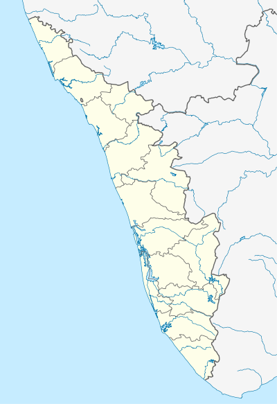 Thandukode Location in Kerala, India  Thandukode Thandukode (India) | |
| Coordinates: 11°6′0″N 76°17′0″E | |
| Country | |
| State | Kerala |
| District | Malappuram |
| Population (2001) | |
| • Total | 1,795 |
| Languages | |
| • Official | Malayalam, English |
| Time zone | UTC+5:30 (IST) |
| PIN | 679327 |
| Vehicle registration | KL-71 |
History
People began to settle in this village in the 1890s. Main families are Poonthiruthy those who came from Ponmala, and Mancheri Kurikkal those who came from Manjeri, Aanappettathu, and Pottayil etc. Britishers cleared the madumala forest and planted the rubber tree. 85% of the population is Muslims, 10% Dalits and 5% others. Main Language spoken is Malayalam, literacy rate: 100%
Culture
Thandukode village is a predominantly Muslim populated area. Hindus exist in comparatively smaller numbers. So the culture of the locality is based upon Muslim traditions. Duff Muttu, Kolkali and Aravanamuttu are common folk arts of this locality. There are many libraries attached to mosques giving a rich source of Islamic studies. Most of the books are written in Arabi-Malayalam which is a version of the Malayalam language written in Arabic script. People gather in mosques for the evening prayer and continue to sit there after the prayers discussing social and cultural issues. Business and family issues are also sorted out during these evening meetings. The Hindu minority of this area keeps their rich traditions by celebrating various festivals in their temples. Hindu rituals are done here with a regular devotion like other parts of Kerala. The people of village still maintain strongly the relation among different religion. [4]
Transportation
Thandukode village connects to other parts of India through Nilambur town. State Highway No.28 starts from Nilambur and connects to Ooty, Mysore and Bangalore through Highways.12,29 and 181. National highway No.66 passes through Ramanattukara and the northern stretch connects to Goa and Mumbai. The southern stretch connects to Cochin and Trivandrum. State. The nearest airport is at Kozhikode. The nearest major railway station is at Thodikappulam and Vaniyambalam.
Agriculture
The main agricultural item is rubber which occupies a major part of total plantation. Other crops are coconut, arecanut, tapioca, etc. There are some poultry farms, pig farms and fish farms also.
Industry
There is a small scale industry owned by Sheebu son of kuttiman poovathingal which produces snacks items
Education
Thandukode is a village with 100 percent literacy. There is an Anganwadi and LP school for primary education. The students depends on CHSS Adakkakundu, GUPS Kalikavu, St. Francis School for higher studies. Dr. Gafoor Memorial MES Mampad College which is the nearest aided college for graduation. There are persons with Doctor of Philosophy such as Dr. Mohammed Salman, DR. Muhammed Junais, Dr. Nabeel Ajmal,Dr. Haris, Dr Sameermone P and there is a veterinary surgeon named DR. Jamsheer.
References
- Map of Kalikavu, Nilambur, Malappuram, Kerala
- Kalikavu, Malappuram District, Kerala, India | Kerala Tourism
- Kalikavu - Wikipedia
- "Archived copy". Archived from the original on 1 April 2016. Retrieved 1 August 2017.CS1 maint: archived copy as title (link)
- "dchb malappuram" (PDF). censusindia.gov.in.