Manjeri
Manjeri is a municipality in Malappuram district. Manjeri Municipality is a Local Self Government Institution with a jurisdiction of three villages, Manjeri, Payyanad, and Narukara.
Manjeri | |
|---|---|
Municipality | |
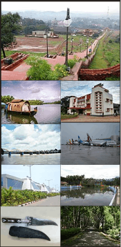
 A view of Manjeri town | |
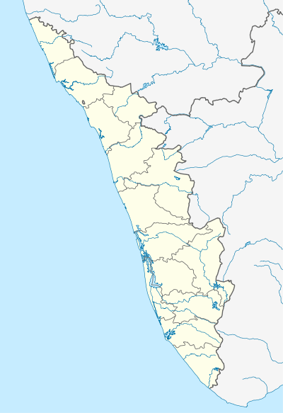 Manjeri Location in Kerala  Manjeri Location in India | |
| Coordinates: 11.12°N 76.12°E | |
| Country | |
| State | Kerala |
| District | Malappuram |
| Area | |
| • Total | 53.05 km2 (20.48 sq mi) |
| Elevation | 38 m (125 ft) |
| Population (2011)[1] | |
| • Total | 97,102 |
| • Density | 1,800/km2 (4,700/sq mi) |
| Languages | |
| • Official | Malayalam |
| Time zone | UTC+5:30 (IST) |
| PIN | 676121, 676122, 676123 |
| Telephone code | 0483 |
| Vehicle registration | KL10 |
| Website | http://www.manjerimunicipality.in |


.png)
Pandallur hills
Demographics
As of 2011 India census,[2] Manjeri had a population of 97,102. Males constitute 49% of the population and females 51%. Manjeri has an average literacy rate of 95.8%, higher than the national average of 74.04%:
Geography
Manjeri is located at 11.12°N 76.12°E.[3] It has an average elevation of 38 metres (124 feet).
See also
- Goverment Medical College Hospital, Manjeri
- Manjeri (State Assembly constituency)
- Malappuram (Lok Sabha constituency)
References
- Kerala, Directorate of Census Operations. District Census Handbook, Malappuram (PDF). Thiruvananthapuram: Directorateof Census Operations,Kerala. p. 154. Retrieved 14 July 2020.
- "Census of India 2001: Data from the 2001 Census, including cities, villages and towns (Provisional)". Census Commission of India. Archived from the original on 16 June 2004. Retrieved 1 November 2008.
- Falling Rain Genomics, Inc - Manjeri
| Wikimedia Commons has media related to Manjeri. |
| Wikivoyage has a travel guide for Manjeri. |
- "dchb malappuram" (PDF). censusindia.gov.in.
This article is issued from Wikipedia. The text is licensed under Creative Commons - Attribution - Sharealike. Additional terms may apply for the media files.