Anamangad
Anamangad is a village in Malappuram district in the state of Kerala, India.[1]
Anamangad | |
|---|---|
village | |
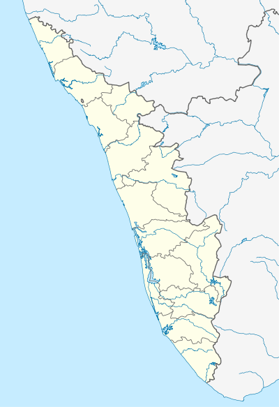 Anamangad Location in Kerala, India  Anamangad Anamangad (India) | |
| Coordinates: 10.9361500°N 76.2639700°E | |
| Country | |
| State | Kerala |
| District | Malappuram |
| Block Panchayat | Perinthalmanna |
| Gram panchayat | Aliparamba |
| Population (2001) | |
| • Total | 14,236 |
| Languages | |
| • Official | Malayalam, English |
| Time zone | UTC+5:30 (IST) |
| PIN | 679357 |
| Vehicle registration | KL-53 |
| Nearest city | Perintalmanna |
| Lok Sabha constituency | Malappuram |
| Vidhan Sabha constituency | Perintalmanna |
Demographics
As of 2001 India census, Anamangad had a population of 14,236 with 6,906 males and 7,330 females.[1]
Landmarks
A special centre which is an out campus of Aligarh Muslim University is located here.
Culture
Anamangad village is a predominantly Muslim populated area. Hindus exist in comparatively smaller numbers. So the culture of the locality is based upon Muslim traditions. Duff Muttu, Kolkali and Aravanamuttu are common folk arts of this locality. There are many libraries attached to mosques giving a rich source of Islamic studies. Most of the books are written in Arabi-Malayalam which is a version of the Malayalam language written in Arabic script. People gather in mosques for the evening prayer and continue to sit there after the prayers discussing social and cultural issues. Business and family issues are also sorted out during these evening meetings. The Hindu minority of this area keeps their rich traditions by celebrating various festivals in their temples. Hindu rituals are done here with a regular devotion like other parts of Kerala.[2]
Transportation
Anamangad village connects to other parts of India through Perinthalmanna town. State Highway 53 passes through Anamangad which connects Cherpulassery and Perinthalmanna. National Highway 66 passes through Tirur and the northern stretch connects to Goa and Mumbai. The southern stretch connects to Cochin and Trivandrum. National Highway 966 passing through Perinthalmanna connects Kozhikkode and Palakkad. The nearest airport is at Kozhikode which is 50 km from anamangad. The nearest railway station is at Cherukara railway station and Angadipuram.
References
- "Census of India: Villages with population 5000 & above". Registrar General & Census Commissioner, India. Archived from the original on 8 December 2008. Retrieved 10 December 2008.
- "Archived copy". Archived from the original on 1 April 2016. Retrieved 14 July 2016.CS1 maint: archived copy as title (link)
- "dchb malappuram" (PDF). censusindia.gov.in.