Road signs in Cambodia
Road signs in Cambodia (Khmer: ឧបសម្ព័ន្ធស្តីពីសញ្ញាចរាចរផ្លូវគោក) are standardized road signs similar to those used in other nations but with certain differences.
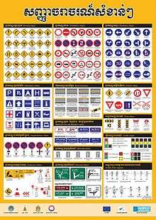
Until the early 1980s, Cambodia closely followed US, Australian, and Japanese practices in road sign design, with diamond-shaped warning signs and circular restrictive signs to regulate traffic. Cambodia traffic signs use Khmer, the national language of Cambodia, however, English is also used for stop and important public places such as tourist attractions, airports, railway stations, and immigration checkpoints. Both Khmer and English are used on directional signage. Cambodia signed the Vienna Convention on Road Signs and Signals but have yet to ratify the convention.[1]
Prohibitory signs
- Prohibitory signs
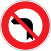 No turn left
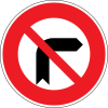 No turn right
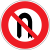 No U-turn
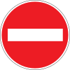 No entry
 Close for all vehicles
 Closed for all road users
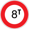 Total weight limit
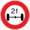 Weight limit on one axle
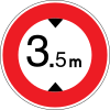 Height limit
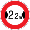 Width limit
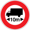 Length limit
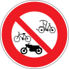 No entry for bicycle, motorcycle and tricycle
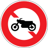 No entry for motorcycle
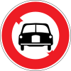 No entry for motor vehicles except motorcycles without side carts
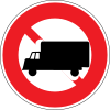 No entry for large-sized truck
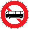 No entry for larged-sized bus
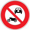 No entry for motor vehicles
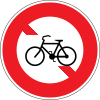 No entry for bicycle
 No parking
 No stopping
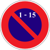 No parking from 1st to 15th of month
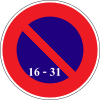 No parking from 16th to 31st of month
 No parking on odd days
 No parking on even days
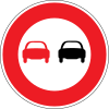 No Overtaking
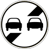 End No Overtaking
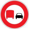 No Overtaking for large-size truck
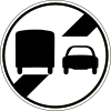 End of no Overtaking for large-size truck
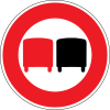 No Overtaking for similar large-size truck
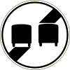 End of no Overtaking for similar large-size truck
 No horn
 End of no horn
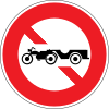 No entry for motorcycle drawn vehicles
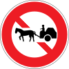 No entry for Animal drawn vehicles
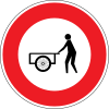 No entry for hand carts
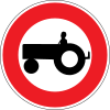 No entry for agricultural motor vehicles
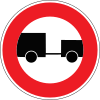 No entry for cobination vehicles
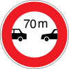 Safety distance between passenger car
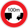 Do not keep safety distance less than 100m for trucks
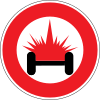 No entry for vehicle loading inflammable or explosable goods
.svg.png) Maximum Speed limit 20 km/ht
Maximum Speed limit 20 km/ht.svg.png) Maximum Speed limit 40 km/ht
Maximum Speed limit 40 km/ht.svg.png) Maximum Speed limit 50 km/ht
Maximum Speed limit 50 km/ht.svg.png) Maximum Speed limit 60 km/ht
Maximum Speed limit 60 km/ht.svg.png) End of maximum Speed limit 20 km/ht
End of maximum Speed limit 20 km/ht.svg.png) End of maximum Speed limit 40 km/ht
End of maximum Speed limit 40 km/ht.svg.png) End of maximum Speed limit 50 km/ht
End of maximum Speed limit 50 km/ht.svg.png) End of maximum Speed limit 60 km/ht
End of maximum Speed limit 60 km/ht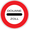 Stop at the Customs Station
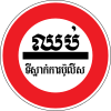 Stop at the Police Station
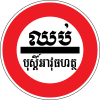 Stop at the Military Police Station
Mandatory signs
- Mandatory signs
 Keep Right
 Keep Left
 Turn right Ahead
 Turn left Ahead
 Proceed straight or turn right.
 Proceed straight or turn left
 Turn Right
 Turn Left
 Turn right or left
 Straight through only
 Motor vehicles on The Motor way
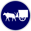 Animal drawn vehicle carts of all form
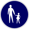 Compulsory foot - path
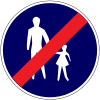 End of compulsory foot - path
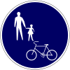 Compulsory foot - path and bicycle track
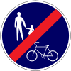 End of compulsory foot - path and bicycle track
.svg.png) Minimum speed limit
Minimum speed limit.svg.png) End of Minimum speed limit
End of Minimum speed limit Compulsory large-size bus
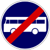 End of compulsory large-size bus
 Compulsory bicycle track
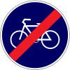 End of compulsory bicycle track
 Keep right
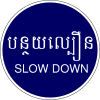 Slow down
Priority signs
- Priority signs
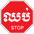 Stop (at intersection)
.svg.png) Stop (Khmer language) (at intersection)
Stop (Khmer language) (at intersection) Give way (at intersection)
 Give way (at roundabout)
 Priority road (priority at the first junction)
 Main road
 End of main road
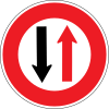 Give way to all traffic from the opposite direction
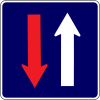 Priority over all traffic from the opposite direction
 Railway crossing (one track)
 Railway crossing (two or more tracks)
Warning signs
- Warning signs
 Dangers
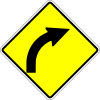 Right bend
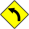 Left bend
 Double bend to left and to right
 Double bend to right and to left
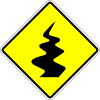 Winding road
 Road junction on the right
 Road junction on the left
 Y- intersection ahead
 T- intersection ahead
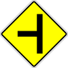 Road junction on the left
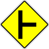 Road junction on the right
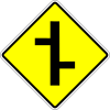 Staggered junction,right turn first
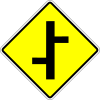 Staggered junction,left turn first
 Cross road
 Round about
 Two-way traffic zone
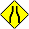 Carriageway way narrows
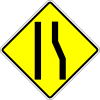 Carriageway way narrows on rhs
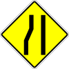 Carriageway way narrows on lhs
 Sharp right turn
 Sharp left turn
 Sharp right turn and left turn
 Sharp left turn and right turn
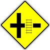 Railway crossing on right road
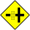 Railway crossing on left road
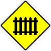 Railway crossing with gates
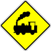 Railway crossing without gates
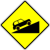 Steep ascent
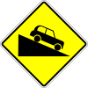 Steep descent
 Road hump
 Bumpy road
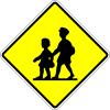 Children crossing
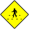 Pedestrian crossing
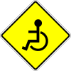 Disabled people crossing ahead
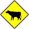 Animals crossing
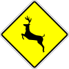 Wild animals crossing
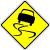 Slippery road
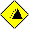 Falling rocks
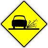 Loose stones
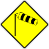 Cross wind caution
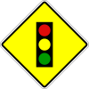 Traffic lights
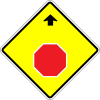 Stop sign ahead
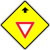 Give way sign ahead
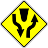 Divided road
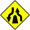 End of divided road
 Low flying air craft
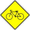 Bicycle crossing
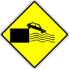 Road end of quay side or river bank
Temporary signs
- Temporary signs
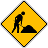 Road works ahead
 Road works
 Loose stones
 End road works
 Detour to the right
 Detour to the left
 Traffic cone
 Direction to be followed
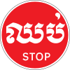 Stop sign
 Go sign
 Red-Flag
Direction signs
- Direction signs
 Direction sign to cities or provinces (at Roundabout)
 Direction sign to cities or provinces (at Junction)
.svg.png) Direction sign to cities or provinces (at Junction)
Direction sign to cities or provinces (at Junction) Direction sign to other areas (at Roundabout)
 Direction sign to other areas (at Junction)
.svg.png) Guide sign to other places
Guide sign to other places Guide sign to other places 1
 Directions to city or province
 Weigh Station
.svg.png) Weigh Station
Weigh Station
Build up Area and Boundary signs
- Build up Area and Boundary signs
 Buildup area
 End buildup area
 Provincial, district or commune boundary
 End provincial, district or commune boundary
Street name sign
- Street name signs
 Preah Norodom Boulevard
 Preah Trasak Paem Street
 Kramuon Sar Avenue
 Street No.113
.svg.png) Asian Highwayroute 1
Asian Highwayroute 1.svg.png) Asian Highwayroute 11
Asian Highwayroute 11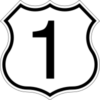 National road number
Informative signs
- Informative signs
 Parking Area
 Pay Parking Area
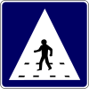 Pedestrian crossing area
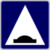 Hump area
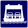 Ferry
Ferry First aid
 Hospital
 Telephone
 Official tourist information
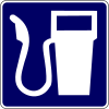 Filling station
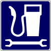 Filling station and repair
 Garage station
 Restaurant
 Cafeteria
 Hotel or guest house
 Rest area
 Airport
 Boat ramp
 Camping area
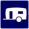 Caravan park or site
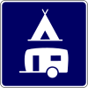 Caravan park and camping area
 Taxi station
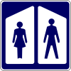 Toilet
 Drinking water
 Litter bin
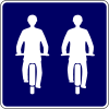 Abreast travelling permitted for bicycle
 No through road
 No through road on right road
 No through road on left road
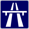 Motor way
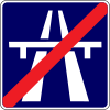 End motor way
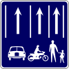 Compulsory lanes
 3 Lanes reduce in 2 lanes
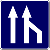 3 Lanes reduce in 2 lanes
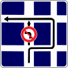 Detour for turning left
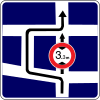 Detour for vehicle having overall height exceeding the specified height
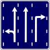 Arrow direction exclusive lane
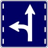 Arrow direction exclusive lane
 One way
 Forest Fire Warning sign
Supplementary Signs
- Supplementary signs
 Bicycle
 Motorcycle
 Motorcycle drawn vehicles
 Motor vehicles
 Large sized bus
 Large sized truck
 Agricultural motor vehicles
 Animal drawn vehicles
 Vehicles having over all length Weight limit on one axle Exceeding the specified Weight limit on one axle
 Large sized truck having overall length exceeding the specified length
 Vehicles having over all length width Exceeding the specified width
 Vehicles having over all length height Exceeding the specified height
 To the right hand side
 To the right and left hand side
 To the left hand side
 Forward
 Forward and Backward
 Backward
 Beware of Train
 Factory 's Gate
 Direction of priority road
 Direction of priority road
 Distance identification
 Time identification
 Veicles loading inflammable goods
Signs posts
- Signs posts
 Delineator post
 Guide post (At dengerous curve)
 Lateral shift marker(to right)
 Lateral shift marker(to left)
 Object marker(on the right)
 Object marker(on center)
 Object marker(on the left)
 Railway crossing post
Road marking
 Single yellow solid line
 Double yellow solid line
 Single White broken line
 White single solid line
 Edge line
 Straigth arrow
 Keep right arrow
 Keep right arrow
 Keep left arrow
 Diagonal hatched markings (two-way road)
 Chevron markings (one-way road)
 Road hump marking
 Bus stop marking
gollark: Yep, NEGATIVE TIME COMPONENTS.
gollark: ++remind 4d12h-3m preeeëmpt palaiologos/sofia
gollark: ... when did camto sign up
gollark: Yes, they should submit to the equally userless apioforum at https://forum.osmarks.net/.
gollark: I like the way the nim forum works and thought "why NOT use forum software written like heavpoot wrote it?".
References
- Road sign in Cambodia www.koonkhmer.com
This article is issued from Wikipedia. The text is licensed under Creative Commons - Attribution - Sharealike. Additional terms may apply for the media files.