Badami Bagh
Badami Bagh is a cantonment town on the outskirts of Srinagar district in the Indian union territory of Jammu and Kashmir. A portion of Indian army in the valley resides in the Badami Bagh cantonment. The cantonment is established on the two road sides of Srinagar Jammu National Highway.
Badami Bagh | |
|---|---|
Town | |
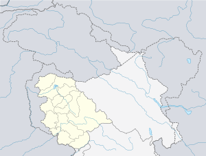 Badami Bagh Location in Jammu and Kashmir, India  Badami Bagh Badami Bagh (India) | |
| Coordinates: 34.07°N 74.85°E | |
| Country | |
| Union territory | Jammu and Kashmir |
| District | Srinagar |
| Elevation | 1,727 m (5,666 ft) |
| Population (2001) | |
| • Total | 13,477 |
| Languages | |
| • Official | Urdu |
| Time zone | UTC+5:30 (IST) |
Geography
Badami Bagh is located at 34.07°N 74.85°E.[1] It has an average elevation of 1727 metres (5666 feet).
Demographics
As of 2001 India census,[2] Badami Bagh had a population of 13,477. Males constitute 53% of the population and females 47%. Badami Bagh has an average literacy rate of 71%, higher than the national average of 59.5%; with 58% of the males and 42% of females literate. 6% of the population is under 6 years of age.
gollark: coordination_problems_irl
gollark: They do have much better policies, though.
gollark: I'm liberal democrat, but honestly they have zero chance of doing anything.
gollark: > Streetrights are handled by police if they leave their houseWhat?
gollark: But he is pretty bourgeoisie.
References
- Falling Rain Genomics, Inc - Badami Bagh
- "Census of India 2001: Data from the 2001 Census, including cities, villages and towns (Provisional)". Census Commission of India. Archived from the original on 16 June 2004. Retrieved 1 November 2008.
| Wikimedia Commons has media related to Badami Bagh. |
This article is issued from Wikipedia. The text is licensed under Creative Commons - Attribution - Sharealike. Additional terms may apply for the media files.