South West Mutton Bird Islet
South West Mutton Bird Islet is a dome-shaped unpopulated islet located close to the south-western coast of Tasmania, Australia. Situated some 2 kilometres (1.2 mi) south of where the mouth of Port Davey meets the Southern Ocean, the 0.52-hectare (1.3-acre) islet is one of the eight islands that comprise the Mutton Bird Islands Group. The South West Mutton Bird Islet is part of the Southwest National Park and the Tasmanian Wilderness World Heritage Site.[1][2]
.jpg) A Landsat image of the Mutton Bird Islands Group. | |
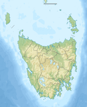 South West Mutton Bird Islet Location off the south western coast of Tasmania | |
| Geography | |
|---|---|
| Location | South western Tasmania |
| Coordinates | 43°25′S 145°58′E |
| Archipelago | Mutton Bird Islands Group |
| Adjacent bodies of water | Southern Ocean |
| Area | 0.52 ha (1.3 acres)[1] |
| Highest elevation | 28 m (92 ft) |
| Administration | |
Australia | |
| State | Tasmania |
| Region | South West |
| Demographics | |
| Population | Unpopulated |
The highest point of Mutton Bird Island is 28 metres (92 ft) above sea level.
Fauna
The islet is part of the Port Davey Islands Important Bird Area, so identified by BirdLife International because of its importance for breeding seabirds.[3] Recorded breeding seabird species are the short-tailed shearwater, (1000 pairs) and fairy prion (200 pairs).[2]
References
- "Small Southern Islands Conservation Management Statement 2002" (PDF). Tasmania Parks and Wildlife Service. 2002. p. 30. Archived from the original (PDF) on 22 August 2006. Retrieved 20 July 2006.
- Brothers, Nigel; Pemberton, David; Pryor, Helen; Halley, Vanessa (2001). Tasmania's Offshore Islands: seabirds and other natural features. Hobart: Tasmanian Museum and Art Gallery. ISBN 978-0-7246-4816-0.
- "IBA: Port Davey Islands". Birdata. Birds Australia. Retrieved 19 September 2011.