Strathgordon, Tasmania
Strathgordon is a locality in Tasmania, Australia on the road to the Gordon River dam the most south westerly road in the south west of Tasmania. It is a tourist destination for visitors wishing to visit the Southwest National Park and World Heritage listed wilderness.
| Strathgordon Tasmania | |||||||||
|---|---|---|---|---|---|---|---|---|---|
 Strathgordon | |||||||||
| Coordinates | 42°46′S 146°03′E | ||||||||
| Postcode(s) | 7139 | ||||||||
| Elevation | 322 m (1,056 ft)[1] | ||||||||
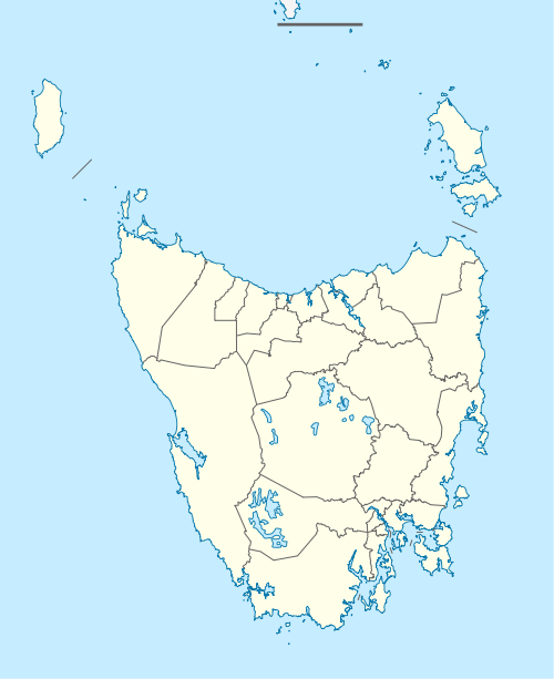
| Location |
| ||||||||
| LGA(s) | Derwent Valley Council | ||||||||
| State electorate(s) | Lyons | ||||||||
| Federal Division(s) | Lyons | ||||||||
| |||||||||
It is remote by Tasmanian standards; however, fuel can be purchased at the Lake Pedder Wilderness Lodge which also provides accommodation and meals. The nearest basic services, otherwise, are 70 kilometres (43 mi) away along a winding road from Maydena. The road is maintained by Hydro Tasmania and has views of the South Western Wilderness.
The town was the 'company' town for construction by the Hydro Tasmania of the hydro-electric structures that resulted in damming of Lake Pedder and Lake Gordon. Its post office opened on 16 July 1969.[2]
Climate
| Climate data for Strathgordon, Tasmania | |||||||||||||
|---|---|---|---|---|---|---|---|---|---|---|---|---|---|
| Month | Jan | Feb | Mar | Apr | May | Jun | Jul | Aug | Sep | Oct | Nov | Dec | Year |
| Record high °C (°F) | 36.2 (97.2) |
36.3 (97.3) |
33.1 (91.6) |
27.5 (81.5) |
21.1 (70.0) |
16.1 (61.0) |
17.5 (63.5) |
20.8 (69.4) |
24.5 (76.1) |
27.9 (82.2) |
32.0 (89.6) |
35.0 (95.0) |
36.3 (97.3) |
| Average high °C (°F) | 19.3 (66.7) |
19.8 (67.6) |
17.3 (63.1) |
14.5 (58.1) |
11.6 (52.9) |
9.6 (49.3) |
9.0 (48.2) |
10.1 (50.2) |
11.7 (53.1) |
13.6 (56.5) |
16.2 (61.2) |
17.5 (63.5) |
14.2 (57.6) |
| Average low °C (°F) | 9.5 (49.1) |
9.7 (49.5) |
8.6 (47.5) |
7.0 (44.6) |
5.3 (41.5) |
3.8 (38.8) |
3.0 (37.4) |
3.6 (38.5) |
4.5 (40.1) |
5.4 (41.7) |
7.0 (44.6) |
8.3 (46.9) |
6.3 (43.3) |
| Record low °C (°F) | 2.8 (37.0) |
1.5 (34.7) |
1.3 (34.3) |
0.0 (32.0) |
−1.1 (30.0) |
−4.0 (24.8) |
−2.5 (27.5) |
−3.1 (26.4) |
−1.5 (29.3) |
−1.3 (29.7) |
0.6 (33.1) |
1.8 (35.2) |
−4.0 (24.8) |
| Average precipitation mm (inches) | 145.8 (5.74) |
106.9 (4.21) |
149.9 (5.90) |
201.6 (7.94) |
239.1 (9.41) |
213.4 (8.40) |
271.8 (10.70) |
293.4 (11.55) |
278.5 (10.96) |
248.0 (9.76) |
175.3 (6.90) |
198.2 (7.80) |
2,525.7 (99.44) |
| Average precipitation days | 17.4 | 14.1 | 18.4 | 20.1 | 23.0 | 22.5 | 25.0 | 25.4 | 24.4 | 23.0 | 19.4 | 20.0 | 252.7 |
| Mean monthly sunshine hours | 201.5 | 178.0 | 145.7 | 105.0 | 68.2 | 51.0 | 62.0 | 83.7 | 102.0 | 139.5 | 165.0 | 176.7 | 1,478.3 |
| Source: Bureau of Meteorology[3] | |||||||||||||
References
- Bureau of Meteorology. Retrieved on 2007-11-14.
- Premier Postal History. "Post Office List". Premier Postal Auctions. Retrieved 16 June 2012.
- "Climate Statistics for Strathgordon Village". Climate statistics for Australian locations. Bureau of Meteorology. Retrieved 23 April 2016.
Further reading
- Rackham, Sarah.(edited by Woodberry, Joan) (1983) Hydro construction villages. Volume three. Poatina, Gowrie Park, Strathgordon Hobart : Public Relations Dept., Hydro-Electric Commission. ISBN 0-7246-1037-5