Bass Pyramid
The Bass Pyramid, part of the Furneaux Group, is a small, two sectioned oval, steep-sided 100-square-metre (1,100 sq ft) unpopulated granite island, located in Bass Strait, lying north of the Flinders Island and south of the Kent Group, in Tasmania, Australia.[1] A rock bridge connects the two sections.
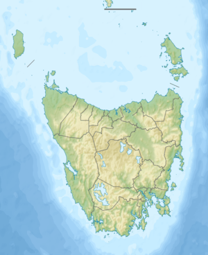 Bass Pyramid Location of the Bass Pyramid in Bass Strait | |
| Geography | |
|---|---|
| Location | Bass Strait |
| Coordinates | 39°49′12″S 147°14′24″E |
| Archipelago | Furneaux Group |
| Area | 21,600 m2 (233,000 sq ft) |
| Length | 220 km (137 mi) |
| Width | 140 km (87 mi) |
| Administration | |
Australia | |
| State | Tasmania |
| Demographics | |
| Population | unpopulated |
The island was used intermittently from the 1940s until 1988 as a bombing and shelling target by the Australian airforce and navy. On 5 April 1978 the island was proclaimed part of a nature reserve.
Recorded breeding seabird and wader species include fairy prion, common diving-petrel, Pacific gull, silver gull, Australasian gannet and sooty oystercatcher. It is also a haul-out site for Australian fur seals.[2] The seals were hunted here in the 19th century.[3] The dangers of the site resulted in at least three sealers losing their lives here.[4]
References
- "Bass Pyramid(TAS)". Gazetteer of Australia online. Geoscience Australia, Australian Government.
- Brothers, Nigel; Pemberton, David; Pryor, Helen; & Halley, Vanessa. (2001). Tasmania’s Offshore Islands: seabirds and other natural features. Tasmanian Museum and Art Gallery: Hobart. ISBN 0-7246-4816-X
- Parry Kostoglou (1996), Sealing in Tasmania, Hobart, Tasmanian Parks and Wildlife Service, p.117-8.
- Kostoglou, p.118.