La Chapelle-Erbrée
La Chapelle-Erbrée (Breton: Ar Chapel-Ervoreg) is a commune in the Ille-et-Vilaine department of Brittany in north-western France.
La Chapelle-Erbrée Ar Chapel-Ervoreg | |
|---|---|
_Mairie.jpg) Town hall | |
Location of La Chapelle-Erbrée 
| |
 La Chapelle-Erbrée 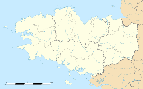 La Chapelle-Erbrée | |
| Coordinates: 48°08′31″N 1°05′57″W | |
| Country | France |
| Region | Brittany |
| Department | Ille-et-Vilaine |
| Arrondissement | Fougères-Vitré |
| Canton | Vitré |
| Intercommunality | CA Vitré Communauté |
| Government | |
| • Mayor (2014–2020) | Joël Marquet |
| Area 1 | 11.98 km2 (4.63 sq mi) |
| Population (2017-01-01)[1] | 698 |
| • Density | 58/km2 (150/sq mi) |
| Time zone | UTC+01:00 (CET) |
| • Summer (DST) | UTC+02:00 (CEST) |
| INSEE/Postal code | 35061 /35500 |
| Elevation | 77–167 m (253–548 ft) |
| 1 French Land Register data, which excludes lakes, ponds, glaciers > 1 km2 (0.386 sq mi or 247 acres) and river estuaries. | |
Population
People from La Chapelle-Erbrée are called in French capellois, although the term is commonly applied to people from many other places with "Chapelle" in their names.
| Year | Pop. | ±% |
|---|---|---|
| 1962 | 496 | — |
| 1968 | 507 | +2.2% |
| 1975 | 405 | −20.1% |
| 1982 | 414 | +2.2% |
| 1990 | 465 | +12.3% |
| 1999 | 450 | −3.2% |
| 2008 | 628 | +39.6% |
References
- "Populations légales 2017". INSEE. Retrieved 6 January 2020.
- Mayors of Ille-et-Vilaine Association (in French)
External links
| Wikimedia Commons has media related to La Chapelle-Erbrée. |
| Authority control |
|
|---|
This article is issued from Wikipedia. The text is licensed under Creative Commons - Attribution - Sharealike. Additional terms may apply for the media files.