The Woodlands, Indiana
The Woodlands is an unincorporated community in Eagle Township, Boone County, in the U.S. state of Indiana.[2]
The Woodlands, Indiana | |
|---|---|
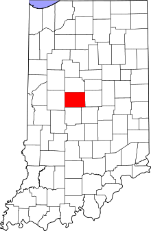 Boone County's location in Indiana | |
 The Woodlands Location in Boone County | |
| Coordinates: 39°55′58″N 86°17′28″W | |
| Country | United States |
| State | Indiana |
| County | Boone |
| Township | Eagle |
| Elevation | 873 ft (266 m) |
| Time zone | UTC-5 (Eastern (EST)) |
| • Summer (DST) | UTC-4 (EDT) |
| ZIP code | 46077 |
| GNIS feature ID | 2109641 |
Geography
The Woodlands is located at 39°55′58″N 86°17′28″W.
gollark: So for each block you maybe want "unscanned", "empty", "full" and "timestamp"?
gollark: But you do still probably want to know the difference between "empty" and "maybe empty" if pathfinding.
gollark: Oh, right.
gollark: Otherwise your turtles will just go and rescan "no block" areas constantly.
gollark: Well, you need to distinguish between them.
References
- "US Board on Geographic Names". United States Geological Survey. 2007-10-25. Retrieved 2008-01-31.
- "The Woodlands, Indiana". Geographic Names Information System. United States Geological Survey. Retrieved March 6, 2020.
Municipalities and communities of Boone County, Indiana, United States | ||
|---|---|---|
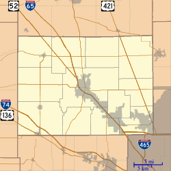
| City | Map of Indiana highlighting Boone County | |
| Towns | ||
| Townships | ||
| Unincorporated communities | ||
| Footnotes | ‡This populated place also has portions in an adjacent county or counties | |
This article is issued from Wikipedia. The text is licensed under Creative Commons - Attribution - Sharealike. Additional terms may apply for the media files.