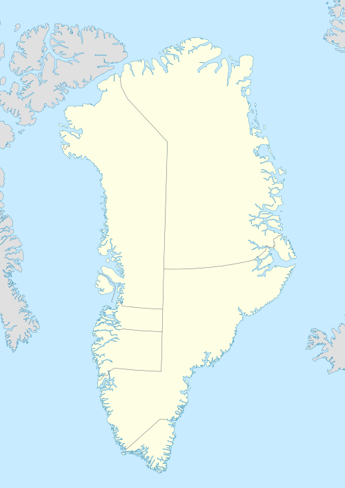
Qaarsorsuatsiaq Island
Qaarsorsuatsiaq Island (old spelling: Qaersorssuatsiaq) is an island in the Qaasuitsup municipality in northwestern Greenland.
 Qaarsorsuatsiaq | |
| Geography | |
|---|---|
| Location | Greenland |
| Coordinates | 73°11′N 56°15′W |
| Archipelago | Upernavik Archipelago |
| Administration | |
Greenland | |
| Municipality | Qaasuitsup |
Geography
Qaarsorsuatsiaq Island is located in the outer belt of islands in Tasiusaq Bay, in the south-central part of Upernavik Archipelago. The inner waterways of Tasiusaq Bay separate it from Innaarsuit Island in the east. Several skerries buffer the western coast of the island.[1] The highest point on the island is Cuthbert Peak in the west, reaching 320 m (1,050 ft).[1]
gollark: Some of those don't look very spidery.
gollark: Troubling.
gollark: Can you create 2028484017473 accounts to work around this?
gollark: I see.
gollark: That costs money, though.
References
- Upernavik, Saga Map, Tage Schjøtt, 1992
This article is issued from Wikipedia. The text is licensed under Creative Commons - Attribution - Sharealike. Additional terms may apply for the media files.