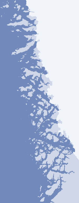
Nasaussap Saqqaa
Nasaussap Saqqaa (old spelling: Nasaussap Sarqâ, Danish: Ussing Isfjord) is a fjord in the Qaasuitsup municipality in northwestern Greenland.[1]
| Nasaussap Saqqaa | |
|---|---|
| Ussing Icefjord | |
 Nasaussap Saqqaa Nasaussap Saqqaa (Upernavik Archipelago) | |
| Location | Upernavik Archipelago |
| Coordinates | 73°54′N 56°05′W |
| Ocean/sea sources | Baffin Bay |
| Basin countries | Greenland |
| Max. length | 29.8 km (18.5 mi) |
Geography
The 29.8 km (18.5 mi) long fjord is an inlet of Sugar Loaf Bay, flowing to the west-northwest between Qullikorsuit Island in the southwest, and the Amitsorsuaq and Nasaussaq islands in the north. The Ussing Glacier or Ussing Bræer Glacier drains the Greenland ice sheet into the head of the fjord.[2] The shores of Nasaussap Saqqaa are uninhabited; the closest settlement is Nuussuaq on a peninsula of the same name, 26.5 km (16.5 mi) to the northwest of the fjord mouth.
gollark: I mean, my problem is more the portrayal of some *actions* and stuff in movies.
gollark: "hmm yes I am a programmer, now I will type very fast and hackerize the virtual BIOS matrix"
gollark: No, I have pleasant cereal, but making it soggy would turn it unpleasant.
gollark: Why would you want your cereal to be soggy and unpleasant?
gollark: I eat all my cereal "raw".
References
- Upernavik Avannarleq, Saga Map, 1:250.000, Tage Schjøtt, 1992
- Ussing Bræer
This article is issued from Wikipedia. The text is licensed under Creative Commons - Attribution - Sharealike. Additional terms may apply for the media files.