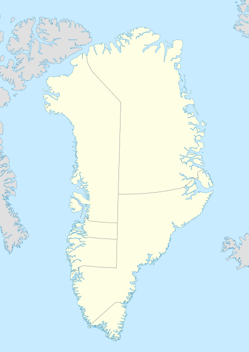
Kangaarsuk Island
Kangaarsuk Island (old spelling: Kangârssuk) is an uninhabited island in the Qaasuitsup municipality in northwestern Greenland.
 Kangaarsuk | |
| Geography | |
|---|---|
| Location | Greenland |
| Coordinates | 73°15′45″N 56°06′30″W |
| Archipelago | Upernavik Archipelago |
| Administration | |
Greenland | |
| Municipality | Qaasuitsup |
Geography
Kangaarsuk Island is located in the outer belt of islands in Tasiusaq Bay, in the central part of Upernavik Archipelago. The inner waterways of the bay separate it from Illunnguit Island in the northwest, and from Tasiusaq Island in the north.[1] It is one of the low-lying islands buffering Tasiusaq Island from the west. The highest point on the island is an unnamed 170 m (560 ft) point in the center.[1]
gollark: Just... install Windows again?
gollark: ???
gollark: As such, you are LITERALLY```rustfn canonical_sort(v: &mut Value) { match v { Value::Call(head, args) => match head.as_ref() { // commutative things - TODO generalize, unaccurse "+" | "*" => args.sort(), _ => () }, _ => () }}```
gollark: That's a bad reason.
gollark: In most cases.
References
- Upernavik, Saga Map, Tage Schjøtt, 1992
This article is issued from Wikipedia. The text is licensed under Creative Commons - Attribution - Sharealike. Additional terms may apply for the media files.