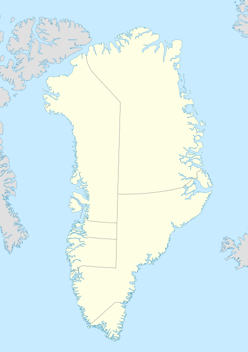
Illunnguit Island
Illunnguit Island (old spelling: Igdlúnguit) is an uninhabited island in the Qaasuitsup municipality in northwestern Greenland.
 Illunnguit | |
| Geography | |
|---|---|
| Location | Greenland |
| Coordinates | 73°18′N 56°20′W |
| Archipelago | Upernavik Archipelago |
| Administration | |
Greenland | |
| Municipality | Qaasuitsup |
Geography
Once inhabited,[1] the Illunnguit Island is located in the outer belt of islands in Tasiusaq Bay, in the central part of Upernavik Archipelago. The inner waterways of the bay separate it from Paagussat Island in the north, and Tasiusaq Island in the east.[2] It is one of the low-lying islands buffering Tasiusaq Island from the west. The highest point on the island is an unnamed 310 m (1,020 ft) point in the southeast.[2]
gollark: I'll do that once I get autoinscribing back online.
gollark: Storage buses on each drive, then?
gollark: Hmm, that's clever.
gollark: Compactness is for compact machine stuff.
gollark: Well, I thought "I have free space, I want to use it and make something I can actually maintain".
References
- Petersen, Robert (2003). Settlements, kinship and hunting grounds in traditional Greenland: A comparative study of local experiences from Upernavik and Ammassalik. Danish Polar Center. p. 130. ISBN 978-87-635-1261-9.
- Upernavik, Saga Map, Tage Schjøtt, 1992
This article is issued from Wikipedia. The text is licensed under Creative Commons - Attribution - Sharealike. Additional terms may apply for the media files.