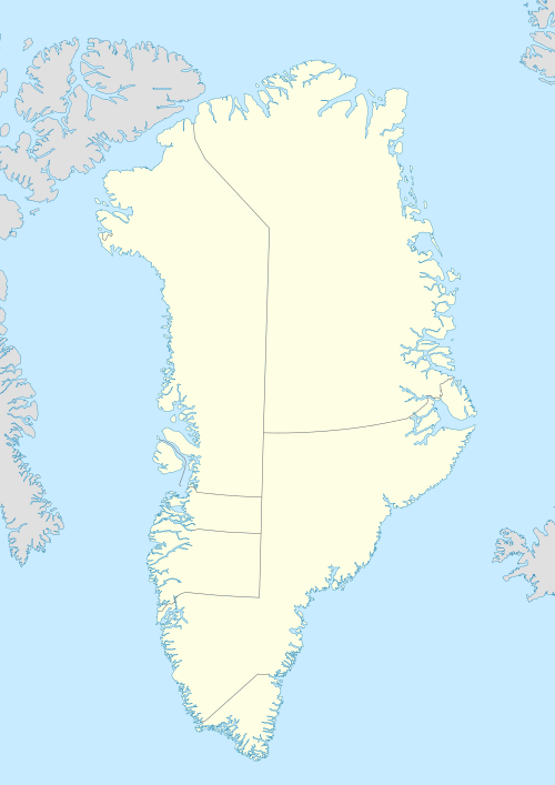
Nuuluk Island
Nuuluk Island (old spelling: Nûluk) is an uninhabited island in the Qaasuitsup municipality in northwestern Greenland.
 Nuuluk | |
| Geography | |
|---|---|
| Location | Greenland |
| Coordinates | 73°32′40″N 55°58′00″W |
| Archipelago | Upernavik Archipelago |
| Administration | |
Greenland | |
| Municipality | Qaasuitsup |
Geography
Nuuluk Island is located in Tasiusaq Bay, in the north-central part of Upernavik Archipelago, on the shores of the inner reaches of Kangerlussuaq Icefjord, which in the northeast separates it from Giesecke Glacier on the mainland of Greenland.[1]
The island is separated from Anarusuk Island in the southeast by a small Ikerasaarsuk channel. The inner waterways of Tasiusaq Bay separate it from Qallunaat Island in the northwest, Saattorsuaq Island in the west, and Aappilattoq Island in the south.[1]
Coastline
The island's highest point is a 390 m (1,280 ft) hill in the southern part of the island. Its coastline is undeveloped, with Iterlissuaq bay the only indentation in the north.[1]
References
- Upernavik, Saga Map, Tage Schjøtt, 1992