Martín García Island Airport
Martin Garcia Island Airport (Spanish: Aeropuerto de la Isla Martín García) (ICAO: SAAK) is the airport of Isla Martín García, a small Argentine island at the head of the Río de la Plata estuary, near the coast of Uruguay.
Martín García Island Airport Aeródromo de la Isla Martín García | |||||||||||
|---|---|---|---|---|---|---|---|---|---|---|---|
| Summary | |||||||||||
| Airport type | Public | ||||||||||
| Serves | Isla Martín García, Argentina | ||||||||||
| Location | Río de la Plata estuary | ||||||||||
| Elevation AMSL | 7 ft / 2 m | ||||||||||
| Coordinates | 34°10′55″S 58°14′49″W | ||||||||||
| Map | |||||||||||
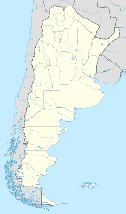
 SAAK Location of the airport in Argentina | |||||||||||
| Runways | |||||||||||
| |||||||||||
It features a small passenger terminal and a single long asphalt runway. Daily traffic consists of general aviation private and commercial (tourism) flights, especially on weekends.
Touch-and-go's are not allowed (strictly enforced) due to noise abatement restrictions to protect the birds nesting in the wildlife preserve next to the airport.
History
The island was under jurisdiction of the Argentine Navy since 1886, and naval forces were placed in it. In the late 1920s an airstrip was built, the precursor of the Martín García Naval Air Station (Spanish: Estación Aeronaval Martín García); this was expanded in the 1950s to support heavier aircraft. The air station become the "Martín García Island Airport" after jurisdiction was transferred to the Province of Buenos Aires.[4]
Facilities
The airport elevation is 7 feet (2 m) above mean sea level and it has one runway designated 17/35 which measures 1,260 by 30 metres (4,134 ft × 98 ft).[1] All approach and departures are over the water. North approach and departure are over a noise-sensitive nature preserve. The immediate area around the island is Argentine airspace.[5]
The San Fernando VOR-DME (Ident: FDO) is located 23.3 nautical miles (43 km) southwest of the airport.[6]
See also


- Transport in Argentina
- List of airports in Argentina
References
- Airport information from World Aero Data. Source: DAFIF (effective Oct. 2006).
- Airport information for Martín García Island Airport at Great Circle Mapper.
- "Martin Garcia Island Airport". Google Maps. Google. Retrieved 21 May 2019.
- BASES AERONAVALES DE LA ARMADA ARGENTINA, ESTACIÓN AERONAVAL MARTIN GARCÍA - "Histarmar" website (in Spanish) (accessed 2015-08-09)
- "Rio de la Plata IFR Chart". SkyVector. Retrieved 21 May 2019.
- "San Fernando VOR". Our Airports. Retrieved 21 May 2019.