El Bolsón Airport
El Bolsón Airport (IATA: EHL, ICAO: SAVB) is an airport serving El Bolsón, Río Negro, Argentina.
El Bolsón Airport | |||||||||||
|---|---|---|---|---|---|---|---|---|---|---|---|
| Summary | |||||||||||
| Serves | El Bolsón | ||||||||||
| Elevation AMSL | 1,131 ft / 345 m | ||||||||||
| Coordinates | 41°56′36″S 71°31′56″W | ||||||||||
| Map | |||||||||||
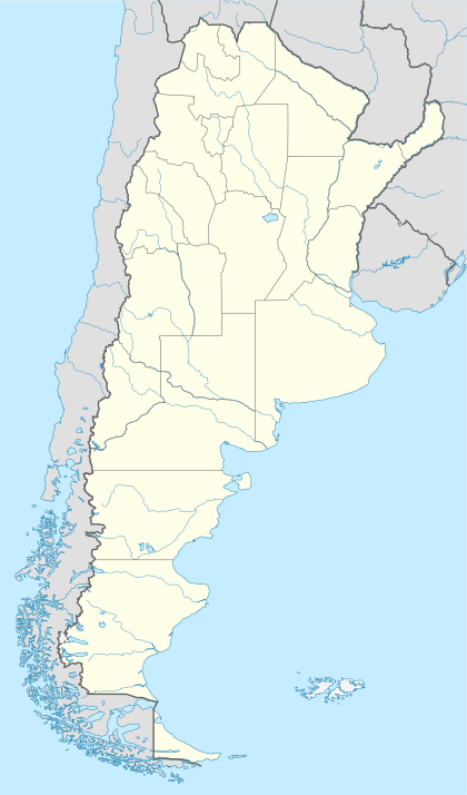
 EHL Location of the airport in Argentina | |||||||||||
| Runways | |||||||||||
| |||||||||||
Sources: World Aero Data[1] | |||||||||||
Airlines and destinations
| Airlines | Destinations |
|---|---|
| LADE | San Carlos de Bariloche |
Accidents and incidents
- 7 August 1977: A LADE Twin Otter 300, tail number T-87, crashed into Cerro Bayo shortly after takeoff from the airport, bound for Comodoro Rivadavia, killing all six aboard.[2]
gollark: I wonder, does Judaism have possible issues translating to space like Islam?
gollark: The internet adopting it as some sort of meme thing and interjecting it into random unrelated conversations annoyed me enough that I don't really care.
gollark: I don't really know what happened with that, and honestly I don't care.
gollark: Although I think that performance on older devices getting worse is *generally* because of software developers getting used to having more power to throw at things, not a conspiracy.
gollark: Apple was documented as doing that, although for battery life reasons.
See also


- List of airports in Argentina
References
- Airport information for SAVB at World Aero Data. Data current as of October 2006.
- Accident description for T-87 at the Aviation Safety Network. Retrieved on 16 March 2012.
External links
- Airport information for El Bolsón Airport at Great Circle Mapper. Source: DAFIF (effective October 2006).
This article is issued from Wikipedia. The text is licensed under Creative Commons - Attribution - Sharealike. Additional terms may apply for the media files.