Rio Turbio Airport
Río Turbio Airport (IATA: RYO, ICAO: SAWT) is an airport serving Río Turbio, a town in the Santa Cruz Province of Argentina. The airport is just south of 28 de Noviembre, a town 10 kilometres (6 mi) southeast of Rio Turbio.
Rio Turbio Airport Aeropuerto de Río Turbio | |||||||||||
|---|---|---|---|---|---|---|---|---|---|---|---|
| Summary | |||||||||||
| Location | Río Turbio, Argentina | ||||||||||
| Elevation AMSL | 896 ft / 273 m | ||||||||||
| Coordinates | 51.600413°S 72.221872°W | ||||||||||
| Map | |||||||||||
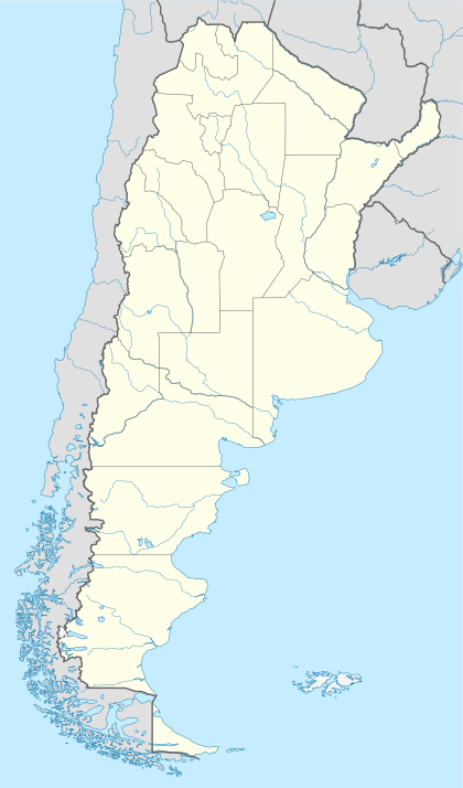 RYO Location of airport in Argentina | |||||||||||
| Runways | |||||||||||
| |||||||||||
The international border with Chile is 6 kilometres (3.7 mi) west of the airport. Runway length includes 60 metres (200 ft) displaced thresholds on each end. The Puerto Natales VOR-DME (Ident: PNT) is located 11.5 nautical miles (21 km) southwest of the airport. The El Turbio non-directional beacon (Ident: BIO) is located on the field.[4][5]
See also


- Transport in Argentina
- List of airports in Argentina
References
- http://www.world-airport-codes.com/argentina/rio-turbio-6305.html World Airport Codes - RYO
- "Rio Turbio Airport". Google Maps. Google. Retrieved 26 April 2019.
- Airport information for Rio Turbio Airport at Great Circle Mapper.
- "Puerto Natales VOR". Our Airports. Retrieved 26 April 2019.
- "El Turbio NDB". Our Airports. Retrieved 26 April 2019.
External links
- RYO flights
- OpenStreetMap - Rio Turbio Airport
- FallingRain - 28 de Noviembre Airport
- Accident history for RYO at Aviation Safety Network
This article is issued from Wikipedia. The text is licensed under Creative Commons - Attribution - Sharealike. Additional terms may apply for the media files.