Sunchales Aeroclub Airport
Sunchales Aeroclub Airport (IATA: NCJ, ICAO: SAFS) is an airport serving the town of Sunchales in the Santa Fe Province of Argentina. The airport is 1 kilometre (0.6 mi) southeast of the town.
Sunchales Aeroclub Airport | |||||||||||
|---|---|---|---|---|---|---|---|---|---|---|---|
| Summary | |||||||||||
| Airport type | Public | ||||||||||
| Serves | Sunchales, Argentina | ||||||||||
| Elevation AMSL | 311 ft / 95 m | ||||||||||
| Coordinates | 30°57′25″S 61°31′45″W | ||||||||||
| Map | |||||||||||
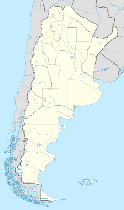 NCJ Airport location in Argentina | |||||||||||
| Runways | |||||||||||
| |||||||||||
Runway length includes a 230 metres (750 ft) displaced threshold on Runway 11. The Ceres VOR-DME (Ident: ERE) is located 68.0 nautical miles (126 km) north-northwest of the airport.
Airlines and destinations
| Airlines | Destinations |
|---|---|
| Flyest | Buenos Aires–Aeroparque |
gollark: It also lacks many features and is worser.
gollark: We are observing "cookeylang".
gollark: It's like JS, but with less design.
gollark: gnobody = eldritch abomination?
gollark: OH BEES WHY
See also

- Transport in Argentina
- List of airports in Argentina
References
- Airport information for Sunchales Airport at Great Circle Mapper.
- "Sunchales Aeroclub Airport". Google Maps. Google. Retrieved 1 April 2019.
This article is issued from Wikipedia. The text is licensed under Creative Commons - Attribution - Sharealike. Additional terms may apply for the media files.