Loncopué Airport
Loncopué Aeroclub Airport (IATA: LCP, ICAO: SA18) is an airport serving the town of Loncopué in the Neuquén Province of Argentina. The airport is 2 kilometres (1.2 mi) southwest of the town.
Loncopué Airport Aeropuerto Teniente La Rufa | |||||||||||
|---|---|---|---|---|---|---|---|---|---|---|---|
| Summary | |||||||||||
| Airport type | Public | ||||||||||
| Serves | Loncopué, Argentina | ||||||||||
| Elevation AMSL | 3,627 ft / 1,106 m | ||||||||||
| Coordinates | 38°04′55″S 70°38′35″W | ||||||||||
| Map | |||||||||||
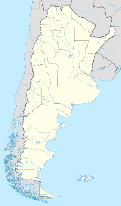 LCP Location of the airport in Argentina | |||||||||||
| Runways | |||||||||||
| |||||||||||
There is a shallow ravine south alongside the runway.
See also


- Transport in Argentina
- List of airports in Argentina
References
- Airport information for Loncopué Airport at Great Circle Mapper.
- "Loncopué Airport". Google Maps. Google. Retrieved 2 April 2019.
External links
- OpenStreetMap - Loncopué
- OurAirports - Loncopué Airport
- WorldAeroData - Loncopue Airport
- Accident history for Loncopue Airport at Aviation Safety Network
This article is issued from Wikipedia. The text is licensed under Creative Commons - Attribution - Sharealike. Additional terms may apply for the media files.