Gualeguaychú Airport
Gualeguaychú Airport (Spanish: Aeropuerto de Gualeguaychú) (IATA: GHU, ICAO: SAAG) is an airport serving Gualeguaychú, a city in the Entre Ríos Province of Argentina. The city is 17 kilometres (11 mi) inland from the Uruguay River, which is the border between Argentina and Uruguay. The airport is 6 kilometres (4 mi) west of Gualeguaychú.
Gualeguaychú Airport Aeropuerto de Gualeguaychú | |||||||||||
|---|---|---|---|---|---|---|---|---|---|---|---|
| Summary | |||||||||||
| Airport type | Public | ||||||||||
| Serves | Gualeguaychú, Argentina | ||||||||||
| Elevation AMSL | 75 ft / 23 m | ||||||||||
| Coordinates | 33°00′20″S 58°36′46″W | ||||||||||
| Map | |||||||||||
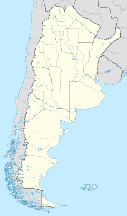 GHU Location of the airport in Argentina | |||||||||||
| Runways | |||||||||||
| |||||||||||
The Gualeguaychu VOR-DME (Ident: GUA) is located on the field.[4]
See also


- List of airports in Argentina
- Transport in Argentina
References
- Airport information for SAAG at World Aero Data. Data current as of October 2006.
- "Gualeguaychu Airport". SkyVector. Retrieved 18 June 2019.
- "Gualeguaychú Airport". Google Maps. Google. Retrieved 18 June 2019.
- "Gualeguaychu VOR". Our Airports. Retrieved 18 June 2019.
External links
- OpenStreetMap - Gualeguaychú Airport
- Airport information for Gualeguaychú Airport at Great Circle Mapper.
- FallingRain - Gualeguaychu Airport
- Accident history for GHU at Aviation Safety Network
This article is issued from Wikipedia. The text is licensed under Creative Commons - Attribution - Sharealike. Additional terms may apply for the media files.