Friskney Eaudyke
Friskney Eaudyke is a settlement in the civil parish of Friskney, and the East Lindsey district of Lincolnshire, England. It is 11 miles (20 km) north-east from Boston and 30 miles (50 km) east-southeast from the city and county town of Lincoln.
| Friskney Eaudyke | |
|---|---|
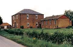
 Wesleyan Centenary Chapel, Friskney Eaudyke | |
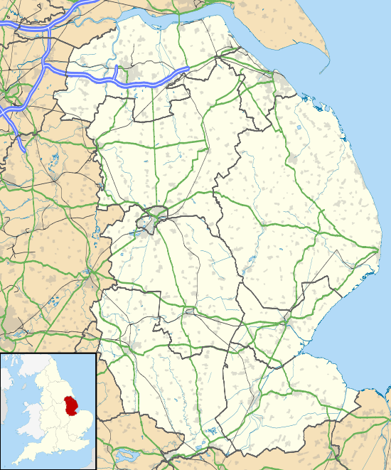
 Friskney Eaudyke Location within Lincolnshire | |
| Population | 1,563 |
| OS grid reference | TF473559 |
| • London | 105 mi (169 km) S |
| Civil parish |
|
| District | |
| Shire county | |
| Region | |
| Country | England |
| Sovereign state | United Kingdom |
| Post town | BOSTON |
| Postcode district | PE22 |
| Dialling code | 01754 |
| Police | Lincolnshire |
| Fire | Lincolnshire |
| Ambulance | East Midlands |
Friskney Eaudyke is 1 mile (1.6 km) east from the parish village of Friskney, and the same distance north-east from the parish hamlet of Fold Hill. The A52 road, which runs locally from Boston to Skegness, is 800 yards (700 m) south-east.[1]
The settlement is centred on the northwest-to-southeast Eau Dyke Road, between Low Road at the northwest and the staggered junction with Sickling Lane and Chapel Lane at the south-east. Friskney Eaudyke comprises detached and semidetached houses, farms with associated buildings, a farm produce distribution company, a balloon supply & event company, a garage services company, and Grade II listed buildings.[1]
The listed Bridge Farmhouse, a late 18th-century two-storey red brick house, is on Low Road south from the junction with Eau Dyke Road.[2] Over the junction and further north on Low Road is Ash Tree Farmhouse, a mid-18th to mid-19th-century gabled red brick house.[3] At the north on Mill Lane off Low Road, and near the border with Wainfleet St Mary, is Hoyle's Windmill, of three-storeys and today converted to a storehouse by the addition of an attached building. Largely early 19th-century, it dates from 1730.[4][5] At the south-west on Chapel Lane is the Grade II* listed 19th-century red brick Wesleyan Centenary Chapel, dating to 1839.[6][7]
In 1871 "Ancient British" pottery, and fragments of bone were found by workmen on Eaudyke Road at the south-east of the settlement.[8] Kelly's Directory in 1885 noted the 1871 archeological finds by workmen as they were building the infants' school at 'Eaudyke'. The directory records a schoolmistress, and the Wesleyan chapel which it said was built in 1832.[9] The listed trades at 'Eaudyke' in the 1933 Kelly's Directory included five farmers, a potato merchant, a saddler, a beer retailer, a shopkeeper, a grocer, a butcher, a baker, and a motor engineer.[10]
References
- Extracted from Grid Reference Finder
- Historic England. "Bridge Farmhouse (1267368)". National Heritage List for England. Retrieved 23 January 2019.
- Historic England. "Ash Tree Farmhouse (1223585)". National Heritage List for England. Retrieved 23 January 2019.
- Historic England. "Hoyle's Windmill (1267367)". National Heritage List for England. Retrieved 23 January 2019.
- Historic England. "Hoyle's Windmill (498116)". PastScape. Retrieved 23 January 2019.
- Historic England. "Methodist Chapel (1267369)". National Heritage List for England. Retrieved 23 January 2019.
- Historic England. "Wesleyan Centenary Chapel (1376475)". PastScape. Retrieved 23 January 2019.
- Historic England. "Monument no. 355151 (355151)". PastScape. Retrieved 23 January 2019.
- Kelly's Directory of Lincolnshire with the port of Hull 1885, pp.281-283
- Kelly's Directory of Lincolnshire 1933, pp.190, 191
External links

- OS map: Friskney Eaudyke