Roughton, Lincolnshire
Roughton (/ˈruːtən/ ROOT-ən) is a village and civil parish in the East Lindsey district of Lincolnshire, England. Roughton population (including Dalderby and Martin) in 2011 was 644.[1]
| Roughton | |
|---|---|
 St Margaret's Church, Roughton | |
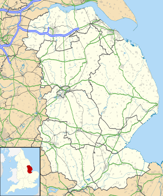 Roughton Location within Lincolnshire | |
| Area | 14.06 km2 (5.43 sq mi) |
| Population | 644 (Census 2011) |
| • Density | 46/km2 (120/sq mi) |
| OS grid reference | TF241647 |
| • London | 105 mi (169 km) S |
| District | |
| Shire county | |
| Region | |
| Country | England |
| Sovereign state | United Kingdom |
| Post town | Woodhall Spa |
| Postcode district | LN10 |
| Police | Lincolnshire |
| Fire | Lincolnshire |
| Ambulance | East Midlands |
| UK Parliament | |
The village is situated approximately 5 miles (8 km) south from Horncastle and near the hamlets of Thornton and Kirkby-on-Bain. Since 1936 the hamlets of Dalderby and Martin have been part of Roughton civil parish.[2]
In the 1086 Domesday Book, Roughton is noted with 11 households, with Lord of the Manor as King William I.[3]
The parish church dates from the 13th century, and is dedicated to Saint Margaret. Built of a "patchwork" of greenstone, limestone and red brick, its construction includes elements from 12th-century Norman to 17th-century brick. It is a Grade II* listed building.[4] The base of a medieval stone cross is in the churchyard; it is both Grade II listed and designated as an ancient scheduled monument.[5][6]
Roughton Hall is a Grade II* listed building dating from the mid-18th century.[7] Until his death in 2018, it was home to Louth and Horncastle MP, and Father of the House, Sir Peter Tapsell.
A primary school in Roughton served the village and the nearby hamlets of Haltham, Dalderby and Martin. It closed in December 1946 following a decline of population.[8]
Roughton Moor Wood on the outskirts of nearby Woodhall Spa is a conservation area consisting of semi-natural woodland; it is managed by the Lincolnshire Wildlife Trust.[9]
Governance
An electoral ward in the same name exists. This ward stretches north to Baumber with a total population taken at the 2011 Census of 2,270.[10]
References
- "Parish population 2011". Neighbourhood Statistics. Office for National Statistics. Retrieved 21 August 2015.
- "Vision of Britain". Roughton Civil Parish. University of Portsmouth. Archived from the original on 24 December 2012. Retrieved 18 June 2011.
- "Domesday Map". Roughton. Anna Powell-Smith/University of Hull. Retrieved 18 June 2011.
- "British Listed Buildings". St Margarets Church, Roughton. English Heritage. Retrieved 18 June 2011.
- Historic England. "Roughton (352853)". PastScape. Retrieved 18 June 2011.
- Historic England. "Churchyard cross, St Margaret's churchyard (1010681)". National Heritage List for England. Retrieved 18 June 2017.
- "British Listed Buildings". Roughton Hall. English Heritage. Retrieved 18 June 2011.
- "Lincs to the Past". Roughton School. Lincolnshire Archives. Retrieved 18 June 2011.
- "Roughton Moor Wood". Lincolnshire Wildlife Trust. Archived from the original on 25 July 2011. Retrieved 18 June 2011.
- "Ward population 2011". Retrieved 21 August 2015.
External links

England Portal | |
| Unitary authorities | |
| Boroughs or districts | |
| Major settlements |
|
| Topics | |