Damoy Point
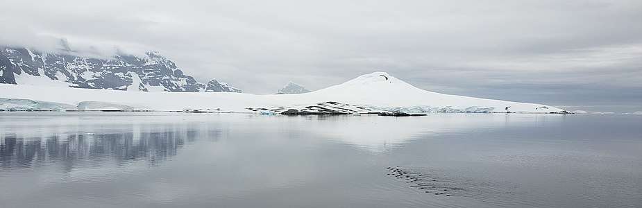
Damoy Point is a headland 900 metres (980 yd) west-northwest of Flag Point, the northern entrance point to the harbour of Port Lockroy, on the western side of Wiencke Island in the Palmer Archipelago of Antarctica. It was discovered and named by the French Antarctic Expedition, 1903–05, under Jean-Baptiste Charcot.[1]
Damoy Point Hut | |
|---|---|
Hut | |
_Wiencke_Island.jpg) Damoy Point Hut | |
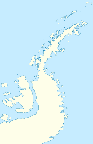 Damoy Point Hut Location of Damoy Point Hut in Antarctic Peninsula | |
| Coordinates: 64°49′04″S 63°30′15″W | |
| Country | |
| Location in Antarctic Peninsula | Damoy Point Port Lockroy Palmer Archipelago Antarctica |
| Administered by | British Antarctic Survey |
| Established | 1973 |
| Type | Seasonal |
| Status | Operational |
Damoy Point Hut
A well-preserved hut containing scientific equipment and other artifacts stands at the point. It was built in 1973 and used for several years as a British summer air facility and transit station for scientific personnel. It was last occupied in 1993. It has been designated a Historic Site or Monument (HSM 84), following a proposal by the United Kingdom to the Antarctic Treaty Consultative Meeting.[2]
See also
References
- "Damoy Point". Geographic Names Information System. United States Geological Survey. Retrieved 2011-12-19.
- "List of Historic Sites and Monuments approved by the ATCM (2012)" (PDF). Antarctic Treaty Secretariat. 2012. Retrieved 2014-01-08.
![]()
External links
| Wikimedia Commons has media related to Damoy Point Hut. |
| General |
| .svg.png) |
|---|---|---|
| Geographic regions | ||
| Waterways | ||
| Famous explorers | ||