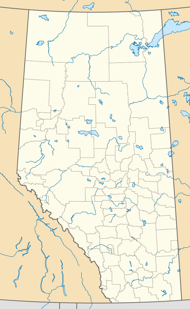
Canyon Creek, Alberta
Canyon Creek is a hamlet in northern Alberta, Canada within the Municipal District of Lesser Slave River No. 124.[1] It is located on Highway 2, approximately 234 kilometres (145 mi) east of Grande Prairie.

Demographics
As a designated place in the 2016 Census of Population conducted by Statistics Canada, Canyon Creek recorded a population of 284 living in 103 of its 116 total private dwellings, a change of 9.7% from its 2011 population of 259. With a land area of 1.64 km2 (0.63 sq mi), it had a population density of 173.2/km2 (448.5/sq mi) in 2016.[2]
As a designated place in the 2011 Census, Canyon Creek had a population of 259 living in 90 of its 110 total dwellings, a 13.6% change from its 2006 population of 228. With a land area of 1.92 km2 (0.74 sq mi), it had a population density of 134.9/km2 (349.4/sq mi) in 2011.[3]
See also
References
- Alberta Municipal Affairs (2010-04-01). "Specialized and Rural Municipalities and Their Communities" (PDF). Archived from the original (PDF) on 2012-02-29. Retrieved 2010-06-29.
- "Population and dwelling counts, for Canada, provinces and territories, and designated places, 2016 and 2011 censuses – 100% data (Alberta)". Statistics Canada. February 8, 2017. Retrieved February 13, 2017.
- "Population and dwelling counts, for Canada, provinces and territories, and designated places, 2011 and 2006 censuses (Alberta)". Statistics Canada. 2012-02-08. Retrieved 2012-04-06.