Cluny, Alberta
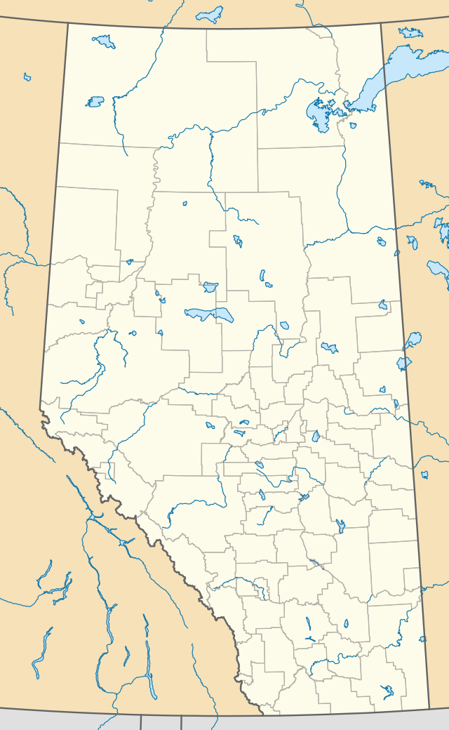
Cluny is a hamlet in Alberta, Canada within Wheatland County.[2] It is located 3 kilometres (1.9 mi) south of Highway 1 on a Canadian Pacific Railway line and Highway 843, approximately 87 kilometres (54 mi) southeast of Calgary. It has an elevation of 570 metres (1,870 ft).
Cluny | |
|---|---|
 Location of Cluny in Alberta | |
| Coordinates: 50.83649°N 112.86667°W | |
| Country | |
| Province | |
| Census division | No. 5 |
| Municipal district | Wheatland County |
| Government | |
| • Type | Unincorporated |
| • Reeve | Glenn Koester |
| • Governing body | Wheatland County Council
|
| Area | |
| • Land | 0.69 km2 (0.27 sq mi) |
| Elevation | 877 m (2,877 ft) |
| Population (2016)[1] | |
| • Total | 70 |
| Time zone | UTC-7 (MST) |
The hamlet is located in census division No. 5 and in the federal riding of Crowfoot.
The hamlet takes its name from the Parish of Cluny in Scotland.[3]
Demographics
As a designated place in the 2016 Census of Population conducted by Statistics Canada, Cluny recorded a population of 70 living in 32 of its 41 total private dwellings, a change of 16.7% from its 2011 population of 60. With a land area of 0.69 km2 (0.27 sq mi), it had a population density of 101.4/km2 (262.8/sq mi) in 2016.[1]
As a designated place in the 2011 Census, Cluny had a population of 60 living in 30 of its 41 total dwellings, a 0% change from its 2006 population of 60. With a land area of 0.58 km2 (0.22 sq mi), it had a population density of 103/km2 (268/sq mi) in 2011.[4]
See also
References
- "Population and dwelling counts, for Canada, provinces and territories, and designated places, 2016 and 2011 censuses – 100% data (Alberta)". Statistics Canada. February 8, 2017. Retrieved February 13, 2017.
- Alberta Municipal Affairs (2010-04-01). "Specialized and Rural Municipalities and Their Communities" (PDF). Archived from the original (PDF) on 2012-02-29. Retrieved 2010-07-08.
- Place-names of Alberta. Ottawa: Geographic Board of Canada. 1928. p. 35.
- "Population and dwelling counts, for Canada, provinces and territories, and designated places, 2011 and 2006 censuses (Alberta)". Statistics Canada. 2012-02-08. Retrieved 2012-04-06.