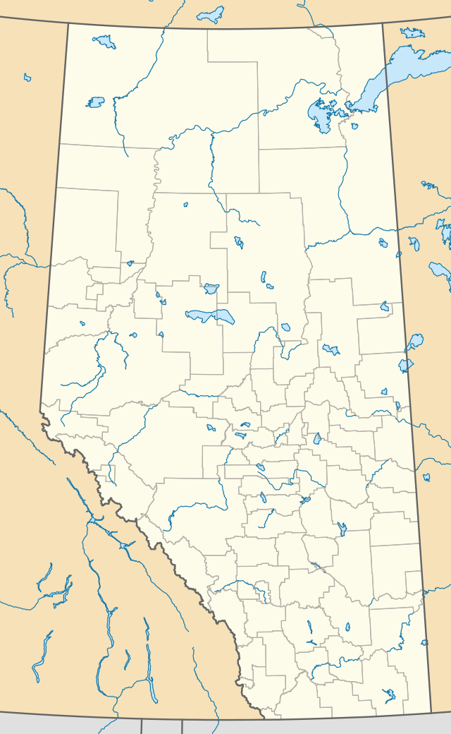
Burdett, Alberta
Burdett is a hamlet in Alberta, Canada within the County of Forty Mile No. 8.[1] It is located approximately 71 km (44 mi) west of Medicine Hat and 97 km (60 mi) east of Lethbridge on Highway 3. Also, Burdett is regarded as the site of Canada's first irrigation pivot.[2]
Burdett | |
|---|---|
Hamlet | |
 Burdett  Burdett | |
| Coordinates: 49°49′48.9″N 111°31′18.0″W | |
| Country | Canada |
| Province | Alberta |
| Region | Southern Alberta |
| Census division | 1 |
| Municipal district | County of Forty Mile No. 8 |
| Government | |
| • Governing body | County of Forty Mile No. 8 |
| • MP | LaVar Payne |
| • MLA | Drew Barnes |
| Area | |
| • Total | 2.08 km2 (0.80 sq mi) |
| Population (2001) | |
| • Total | 264 |
| • Density | 127.0/km2 (329/sq mi) |
| Time zone | UTC−07:00 (MST) |
| • Summer (DST) | UTC−06:00 (MDT) |
| Postal code span | TOK 0J0 |
| Area code(s) | +1-403 |
| Highways | Highway 3 |
History
The community is named for Angela Burdett-Coutts, 1st Baroness Burdett-Coutts, a railroad promoter.[3] Previously incorporated as a village on June 30, 1913,[4] Burdett dissolved to hamlet status on January 1, 2003.[5]
Demographics
As a designated place in the 2016 Census of Population conducted by Statistics Canada, Burdett recorded a population of 406 living in 117 of its 122 total private dwellings, a change of 17% from its 2011 population of 347. With a land area of 0.79 km2 (0.31 sq mi), it had a population density of 514/km2 in 2016.[6]
Notable people
- Harry Edwin Strom (July 7, 1914 – October 2, 1984) was a Canadian politician of Swedish descent, who served as Premier of Alberta between 1968 and 1971, and was born in Burdett.
See also
References
- Alberta Municipal Affairs (2010-04-01). "Specialized and Rural Municipalities and Their Communities" (PDF). Archived from the original (PDF) on 2012-02-29. Retrieved 2010-06-24.
- "Google Maps". Google Maps.
- Place-names of Alberta. Ottawa: Geographic Board of Canada. 1928. p. 27.
- Alberta Queen's Printer (1913-07-15). "Burdett Notice" (PDF). Retrieved 2010-06-24.
- Alberta Queen's Printer (2003-11-05). "Order in Council (O.C.) 507/2002" (PDF). Retrieved 2010-06-24.
- "Population and dwelling counts, for Canada, provinces and territories, and designated places, 2016 and 2011 censuses – 100% data (Alberta)". Statistics Canada. February 8, 2017. Retrieved February 13, 2017.