National Register of Historic Places listings in Sullivan County, Missouri
This is a list of the National Register of Historic Places listings in Sullivan County, Missouri.
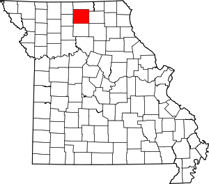
Location of Sullivan County in Missouri
This is intended to be a complete list of the properties and districts on the National Register of Historic Places in Sullivan County, Missouri, United States. Latitude and longitude coordinates are provided for many National Register properties and districts; these locations may be seen together in a map.[1]
There are 6 properties and districts listed on the National Register in the county.
- This National Park Service list is complete through NPS recent listings posted August 14, 2020.[2]
Current listings
| [3] | Name on the Register | Image | Date listed[4] | Location | City or town | Description |
|---|---|---|---|---|---|---|
| 1 | Camp Ground Church and Cemetery | September 23, 1985 (#85002483) |
West of Milan 40°10′38″N 93°18′39″W |
Milan | ||
| 2 | Green City Presbyterian Church | February 10, 2000 (#00000086) |
One East St. 40°16′07″N 92°57′10″W |
Green City | ||
| 3 | Green City Railroad Depot | January 15, 1999 (#98001610) |
202 Lincoln St. 40°16′01″N 92°57′11″W |
Green City | ||
| 4 | Henry Cemetery | December 28, 2005 (#05001472) |
Eastern side of Route Z, approximately 1 mile south of Reger 40°07′43″N 93°11′55″W |
Reger | ||
| 5 | Milan Railroad Depot | January 4, 1996 (#95001493) |
Junction of E. 3rd St. and Short St. 40°12′09″N 93°06′56″W |
Milan | ||
| 6 | Quincy, Omaha and Kansas City Railroad Office Building | January 7, 1992 (#91001917) |
117 N. Water St. 40°12′09″N 93°07′25″W |
Milan |
See also
References
- The latitude and longitude information provided in this table was derived originally from the National Register Information System, which has been found to be fairly accurate for about 99% of listings. Some locations in this table may have been corrected to current GPS standards.
- "National Register of Historic Places: Weekly List Actions". National Park Service, United States Department of the Interior. Retrieved on August 14, 2020.
- Numbers represent an ordering by significant words. Various colorings, defined here, differentiate National Historic Landmarks and historic districts from other NRHP buildings, structures, sites or objects.
- The eight-digit number below each date is the number assigned to each location in the National Register Information System database, which can be viewed by clicking the number.
| Topics | |
|---|---|
| Lists by state |
|
| Lists by insular areas | |
| Lists by associated state | |
| Other areas | |
| Related | |
| |
Municipalities and communities of Sullivan County, Missouri, United States | ||
|---|---|---|
| Cities | Map of Missouri highlighting Sullivan County | |
| Villages | ||
| Townships | ||
| CDP | ||
| Unincorporated communities | ||
| Ghost town | ||
| Footnotes | ‡This populated place also has portions in an adjacent county or counties | |
This article is issued from Wikipedia. The text is licensed under Creative Commons - Attribution - Sharealike. Additional terms may apply for the media files.