Walker Basin, California
Walker Basin is an isolated unincorporated community and valley in the Southern Sierra Nevada, in Kern County, California.
Walker Basin | |
|---|---|
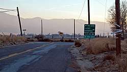 South view of Caliente Bodfish/Walser roads intersection. | |
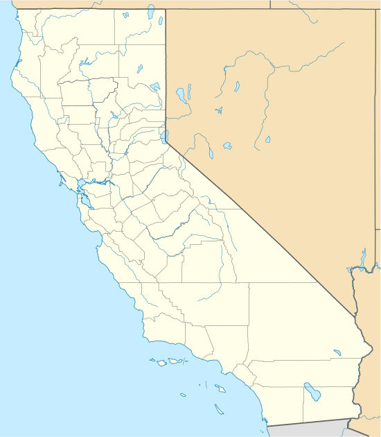 Walker Basin Location in California | |
| Coordinates: 35°24′35″N 118°31′17″W[1] | |
| Country | United States |
| State | California |
| County | Kern County |
| Elevation | 3,350 ft (1,020 m) |
| ZIP code | 93518-1701 |
| Area code(s) | 661 |
Geography
The valley and community of Walker Basin are located south of Lake Isabella and the Kern River Valley, east of Bakersfield, and north of Tehachapi Pass, near the southern boundary of the Sequoia National Forest
The valley is framed by Breckenridge Mountain at 7,548 feet (2,301 m) on the west side and Piute Mountain on the east. The community of Havilah is to the north up a canyon, and the communities of Fig Orchard and Millersville are to the south over a ridge.
History
Walker Basin was named for Joseph Reddeford Walker, a pioneer in the area.[2]
gollark: I don't particularly care enough to do detailed study/note-taking of several hours of presentations on this.
gollark: I think that's the acronym, anyway.
gollark: No, the chaos communication congress™.
gollark: It is a thing, I've heard of it before.
gollark: 1. this is not really "spying stuff"2. where *should* I be looking, exactly?3. ...
References
- U.S. Geological Survey Geographic Names Information System: Walker Basin
- Hillinger, Charles (Apr 10, 1971). "85-year-old cowboy is a western wonder". The Tuscaloosa News. pp. A13. Retrieved 25 May 2015.
- "Breckenridge Mountain, California 7.5-minute Quadrangle," U.S. Geological Survey, 1994.
- U.S. Census Bureau
This article is issued from Wikipedia. The text is licensed under Creative Commons - Attribution - Sharealike. Additional terms may apply for the media files.