Tidbinbilla River
The Tidbinbilla River, a perennial stream that is part of the Murrumbidgee catchment within the Murray-Darling basin, is located in the Australian Capital Territory, Australia.
| Tidbinbilla | |
|---|---|
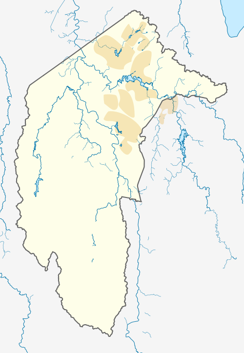 Location of the Tidbinbilla River mouth in the ACT | |
| Location | |
| Country | Australia |
| Territory | Australian Capital Territory |
| Region | South Eastern Highlands (IBRA), Capital Country |
| Physical characteristics | |
| Source | Brindabella Ranges |
| • location | Billy Billy Rocks in Tidbinbilla Nature Reserve |
| • coordinates | 35°26′35″S 148°55′31″E |
| • elevation | 1,330 m (4,360 ft) |
| Mouth | confluence with Paddys River |
• coordinates | 35°25′28″S 148°57′31″E |
• elevation | 618 m (2,028 ft) |
| Length | 13 km (8.1 mi) |
| Basin features | |
| River system | Murrumbidgee catchment, Murray–Darling basin |
| National park | Namadgi NP |
| [1] | |
Location and features
Tidbinbilla River rises on the eastern slopes of the Brindabella Ranges in the south-west of the Australian Capital Territory (ACT), below Billy Billy Rocks in Tidbinbilla Nature Reserve, within Namadgi National Park. The creek flows generally north-east before reaching its confluence with Paddys River, south-west of Tuggeranong Town Centre. The creek descends 708 metres (2,323 ft) over its 13-kilometre (8.1 mi) course.[1]
gollark: Well, if someone else asks again (and doesn't think to check the logs here or something) I can come up with something, I guess.
gollark: Of course, it could exist but be insidious enough that I haven't noticed it.
gollark: There is not, as far as I know, an actual program like that, I made it up as a joke.
gollark: The Apple voice assistant thing?
gollark: Siri?
References
- "Map of Tidbinbilla River, ACT". Bonzle Digital Atlas of Australia. Retrieved 17 February 2013.
Rivers of the Murrumbidgee River catchment, New South Wales and the Australian Capital Territory, Australia | |||||
|---|---|---|---|---|---|
| |||||
| |||||
Rivers, other watercourses, reservoirs, river islands and waterfalls of the Australian Capital Territory | |
|---|---|
| Rivers and creeks | |
| Reservoirs | |
| River islands | |
| Waterfalls | |
| |
This article is issued from Wikipedia. The text is licensed under Creative Commons - Attribution - Sharealike. Additional terms may apply for the media files.