Shacks Corner, New Jersey
Shacks Corner is an unincorporated community located within Howell Township in Monmouth County, New Jersey, United States.[2][3] The settlement is located along New Jersey Route 33 at its intersection with Yellow Brook Road. The area to the north of Route 33 is forested and consists entirely of Naval Weapons Station Earle. On the south side of the highway, there are small clusters of homes along Yellow Brook Road and a few other side roads off Route 33. Some businesses also line the southern side of Route 33 in the area.[4]
Shacks Corner, New Jersey | |
|---|---|
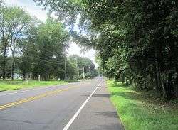 Looking west along Route 33 | |
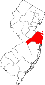
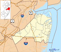 Shacks Corner, New Jersey Location of Shacks Corner in Monmouth County Inset: Location of county within the state of New Jersey 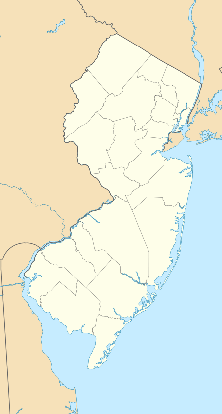 Shacks Corner, New Jersey Shacks Corner, New Jersey (New Jersey)  Shacks Corner, New Jersey Shacks Corner, New Jersey (the United States) | |
| Coordinates: 40°13′37″N 74°11′41″W | |
| Country | |
| State | |
| County | Monmouth |
| Township | Howell |
| Elevation | 108 ft (33 m) |
| Time zone | UTC-5 (Eastern (EST)) |
| • Summer (DST) | UTC-4 (EDT) |
| GNIS feature ID | 880490[1] |
References
- "Shacks Corner". Geographic Names Information System. United States Geological Survey.
- Locality Search, State of New Jersey. Accessed March 4, 2015.
- "NJDOT Graphic Information System Maps Middlesex" (PDF). New Jersey Department of Transportation. Retrieved March 29, 2020.
- Google (August 25, 2016). "Aerial view of Shacks Corner" (Map). Google Maps. Google. Retrieved August 25, 2016.
This article is issued from Wikipedia. The text is licensed under Creative Commons - Attribution - Sharealike. Additional terms may apply for the media files.