Otteri
Otteri, is a developed residential area in Central Chennai, a metropolitan city in Tamil Nadu, India.
Otteri | |
|---|---|
Neighbourhood | |
 Otteri 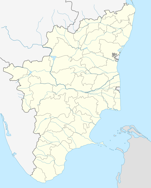 Otteri  Otteri | |
| Coordinates: 13.098038°N 80.251197°E | |
| Country | |
| State | |
| District | Chennai |
| Metro | Chennai |
| Elevation | 5 m (16 ft) |
| Languages | |
| • Official | Tamil |
| Time zone | UTC+5:30 (IST) |
| PIN | 600012 |
| Telephone code | 044 |
| Planning agency | CMDA |
| City | Chennai |
| Civic agency | Chennai Corporation |
Police station
- There is a Police station on Cooks road in Otteri, viz., 'Otteri Police station'.
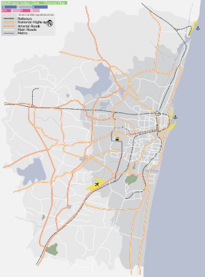
Location
Otteri is located in between Perambur, Ayanavaram and Purasaiwalkam.
Nearby Important Roads
- Cooks road
- Ayanavaram road
- Strahans road
- Brick kiln road
- Perambur Barracks road
- Purasawalkam High road
- DeMellows road
- Perambur High road
- Pulianthope High road.
Surroundings
- Purasawalkam
- Perambur
- Ayanavaram
- Kellys
- Kilpauk
- Egmore
- Vepery
- Doveton
- Pulianthope
- Pattalam, Chennai
- Basin Bridge
- Vyasarpadi
- Choolai
Directions From Otteri | |
|---|---|
| State symbols |
| |
|---|---|---|
| Governance |
| |
| Topics | ||
| Major cities | ||
| Districts |
| |
| Lists | ||
| City |  | |
|---|---|---|
| Country | ||
| State | ||
| Region |
| |
| Revenue Divisions | ||
| Taluks | ||
| Governing body | ||
| History |
| |
| Places of interest |
| |
| Universities |
| |
gollark: Ah, so people can cheat again, great.
gollark: You could distribute fake pirated versions with a watermark, and then give people a paid version without it.
gollark: I see.
gollark: So the watermark... only works in certain situations anyway.
gollark: I think this is one of those belief in belief things. Anyway, people can cheat and *not* record it, no?
This article is issued from Wikipedia. The text is licensed under Creative Commons - Attribution - Sharealike. Additional terms may apply for the media files.