Niingsvatnet
Niingsvatnet (Norwegian) or Meahccejávri (Northern Sami) is a Norwegian lake that lies high in the mountains on the border of two municipalities: Evenes in Nordland county and Tjeldsund in Troms og Finnmark county.[1]
| Niingsvatnet (Norwegian) | |
|---|---|
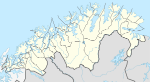 Niingsvatnet Location of the lake 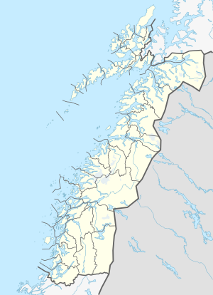 Niingsvatnet Niingsvatnet (Nordland)  Niingsvatnet Niingsvatnet (Norway) | |
| Location | Troms og Finnmark and Nordland |
| Coordinates | 68.5729°N 17.0572°E |
| Type | Reservoir |
| Native name | Meahccejávri (Northern Sami) |
| Basin countries | Norway |
| Max. length | 4 kilometres (2.5 mi) |
| Max. width | 1.5 kilometres (0.93 mi) |
| Surface area | 2.93 km2 (1.13 sq mi) |
| Shore length1 | 13.46 kilometres (8.36 mi) |
| Surface elevation | 508 metres (1,667 ft) |
| References | NVE |
| 1 Shore length is not a well-defined measure. | |
The water from the lake flows through a pipe down to the hydroelectric powerstation near the village of Bogen in Evenes. The powerstation is owned by Evenes Kraftforsyning and is situated at almost 500 m (1,600 ft) lower than the lake Niingsvatnet. The water from the powerstation then flows into the Strandvatnet lake. A short river goes from Strandvatnet past the village of Bogen to the Ofotfjord.
See also
- List of lakes in Norway
- Geography of Norway
This article is issued from Wikipedia. The text is licensed under Creative Commons - Attribution - Sharealike. Additional terms may apply for the media files.