Botnsvatnet
Botnsvatnet or Botsvatnet is a lake in the municipality of Valle in Agder county, Norway. The 5.61-square-kilometre (2.17 sq mi) lake is located just north of the lakes Rosskreppfjorden and Kolsvatnet and the mountain Urddalsknuten, and it lies to the southeast of the mountain Bergeheii. The village of Valle is located about 14 kilometres (8.7 mi) to the east of the lake. The lake sits at an elevation of 1,020 metres (3,350 ft) above sea level.[1]
| Botnsvatnet | |
|---|---|
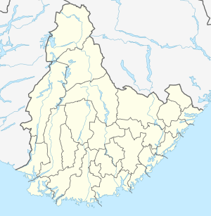 Botnsvatnet Location of the lake Show map of Agder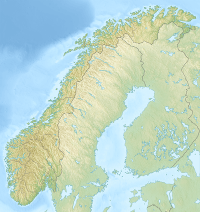 Botnsvatnet Botnsvatnet (Norway) Show map of Norway | |
| Location | Valle, Agder |
| Coordinates | 59.1797°N 07.2449°E / 59.1797; 07.2449 |
| Primary outflows | Gjuvvassåni river |
| Catchment area | Kvina |
| Basin countries | Norway |
| Max. length | 5.8 kilometres (3.6 mi) |
| Max. width | 1.5 kilometres (0.93 mi) |
| Surface area | 5.61 km2 (2.17 sq mi) |
| Shore length1 | 25.18 kilometres (15.65 mi) |
| Surface elevation | 1,020 metres (3,350 ft) |
| References | NVE |
| 1 Shore length is not a well-defined measure. | |
See also
- List of lakes in Aust-Agder
- List of lakes in Norway
References
- "Botnsvatnet" (in Norwegian). yr.no. Retrieved 2010-05-19.
This article is issued from Wikipedia. The text is licensed under Creative Commons - Attribution - Sharealike. Additional terms may apply for the media files.