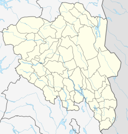
Bessvatnet
Bessvatnet is a lake in Vågå, Innlandet, Norway. Bessvatnet is known to everyone that has hiked Besseggen, as one passes its southern end, while looking down on the green lake Gjende.
| Bessvatnet | |
|---|---|
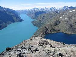 Bessvatnet to the right. Gjende is the lake to the left. | |
 Bessvatnet 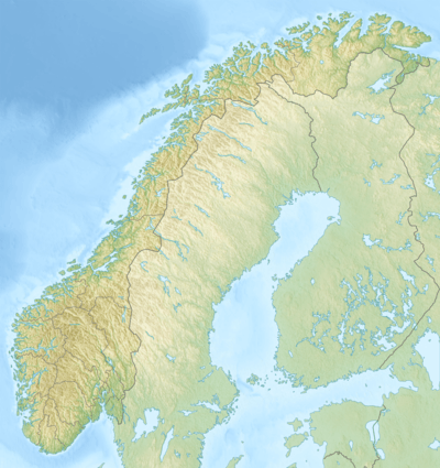 Bessvatnet | |
| Location | Vågå, Innlandet, Norway |
| Coordinates | 61°31′23″N 8°46′32″E |
| Basin countries | Norway |
| Surface area | 4.64 km2 (1.79 sq mi) |
| Shore length1 | 13.31 km (8.27 mi) |
| Surface elevation | 1,373 m (4,505 ft) |
| 1 Shore length is not a well-defined measure. | |
The name
Bessvatnet ('Bess water') is named after the river Bessa, the last element is the finite form of vatn 'water, lake'. The name of the river is derived from Old Norse bersi m 'bear' - thus 'Bear river'.
| Wikimedia Commons has media related to Bessvatnet. |
gollark: It was a response. Possibly not a contextually appropriate one, but too bad.
gollark: Well, you can't actually do those things with open source drivers probably.
gollark: National security reasons.
gollark: Why are you quoting some subset of your own sentences?
gollark: You literally used "advertising" in describing it.
This article is issued from Wikipedia. The text is licensed under Creative Commons - Attribution - Sharealike. Additional terms may apply for the media files.