Limingen
Limingen (Norwegian) or Lyjmede (Southern Sami) is a lake in the municipalities of Røyrvik and Lierne in Trøndelag county, Norway. It is the eighth-largest lake in the country. The lake lies 418 metres (1,371 ft) above sea level and has an area of 94 square kilometres (36 sq mi).[1] At the deepest point, it is 192 metres (630 ft) deep and averages about 87 metres (285 ft) deep. The lake has a volume of 8.34 cubic kilometres (2.00 cu mi) and is located just north of the large lake Tunnsjøen. The border with Sweden lies about 725 metres (0.5 mi) east of the lake.
| Limingen (Norwegian) Lyjmede (Southern Sami) | |
|---|---|
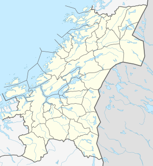 Limingen Location of the lake 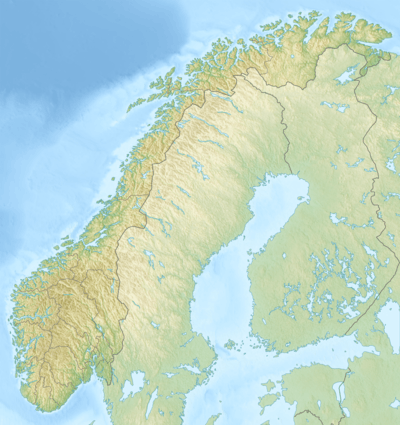 Limingen Limingen (Norway) | |
| Location | Lierne and Røyrvik, Trøndelag |
| Coordinates | 64.7056°N 13.7442°E |
| Basin countries | Norway |
| Max. length | 25 kilometres (16 mi) |
| Max. width | 6 kilometres (3.7 mi) |
| Surface area | 94 km2 (36 sq mi) |
| Average depth | 87 metres (285 ft) |
| Max. depth | 192 metres (630 ft) |
| Water volume | 8.34 cubic kilometres (2.00 cu mi) |
| Shore length1 | 108 kilometres (67 mi) |
| Surface elevation | 418 metres (1,371 ft) |
| References | NVE |
| 1 Shore length is not a well-defined measure. | |
The lake level is regulated by dams. The Røyrvikelva river flows into the north end of Limingen from the lake Vektaren, through a dam. The water flows out through a tunnel to Røyrvikfoss Power Station, at the village of Røyrvik. At the south end, near the village of Limingen in Lierne, the water flows out of the tunnel to the Tunnsjøen via the Tunnsjø Power Station, as well as to Linvasselv Power Station on the Swedish side. The water level varies by up to about 10 metres (33 ft) in level.[2]
References
- "Statistisk årbok 2009: Geografisk oversikt" (in Norwegian). Ssb.no. Retrieved 2018-05-15.
- Store norske leksikon. "Limingen" (in Norwegian). Retrieved 2011-09-07.