La Paloma Ranchettes, Texas
La Paloma Ranchettes is a census-designated place (CDP) in Starr County, Texas, United States. This was a new CDP for the 2010 census with a population of 239.[1]
La Paloma Ranchettes, Texas | |
|---|---|
| Coordinates: 26°18′53″N 98°37′23″W | |
| Country | United States |
| State | Texas |
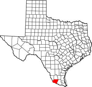
| County | Starr |
| Area | |
| • Total | 0.5 sq mi (1 km2) |
| • Land | 0.5 sq mi (1 km2) |
| • Water | 0.0 sq mi (0 km2) |
| Population (2010) | |
| • Total | 239 |
| • Density | 480/sq mi (180/km2) |
| Time zone | UTC-6 (Central (CST)) |
| • Summer (DST) | UTC-5 (CDT) |
| Zip Code | 78582 |
Geography
La Paloma Ranchettes is located at 26°18′53″N 98°37′23″W (26.314792, -98.623017).[2]
gollark: Did you know?
gollark: If you set up unreasonable premises the conclusions are irrelevant.
gollark: If it was a good AGI, it could do better.
gollark: It only has to have ~10 times the side length, conveniently enough.
gollark: I don't want to be apocalypsed, so no.
References
This article is issued from Wikipedia. The text is licensed under Creative Commons - Attribution - Sharealike. Additional terms may apply for the media files.