Graysville, Indiana
Graysville is an unincorporated community in Turman Township, Sullivan County, in the U.S. state of Indiana.[3]
Graysville, Indiana | |
|---|---|
 | |
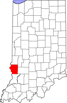
 Sullivan County's location in Indiana | |
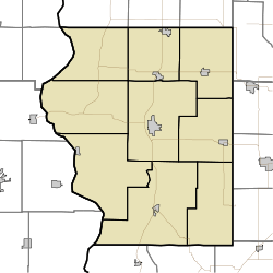
 Graysville Sullivan County, Indiana | |
| Coordinates: 39°07′03″N 87°33′22″W | |
| Country | United States |
| State | Indiana |
| County | Sullivan |
| Township | Turman |
| Elevation | 568 ft (173 m) |
| Time zone | UTC-5 (Eastern (EST)) |
| • Summer (DST) | UTC-4 (EDT) |
| ZIP code | 47882 |
| Area code(s) | 812, 930 |
| FIPS code | 18-29106[2] |
| GNIS feature ID | 435374 |
The community is part of the Terre Haute Metropolitan Statistical Area.
History
Graysville was named after its founder, Joe Gray.[4] The post office at Graysville has been in operation since 1849.[5]
Geography
Graysville is located at 39°07′03″N 87°33′22″W.
gollark: https://media.discordapp.net/attachments/426116061415342080/769270937257902090/Screenshot_20201023-133900_Discord.jpg?width=533&height=422
gollark: WWait, the EWO server software is still up?
gollark: It does not *actually* exist.
gollark: The keybindings are perfect and without flaw.
gollark: Your keyboard is wrong, in that case.
References
- "US Board on Geographic Names". United States Geological Survey. October 25, 2007. Retrieved 2016-08-31.
- "U.S. Census website". United States Census Bureau. Retrieved 2008-01-31.
- "Graysville, Indiana". Geographic Names Information System. United States Geological Survey. Retrieved August 5, 2017.
- Gannett, Henry (1905). The Origin of Certain Place Names in the United States. Govt. Print. Off. pp. 142.
- "Sullivan County". Jim Forte Postal History. Retrieved August 31, 2016.
This article is issued from Wikipedia. The text is licensed under Creative Commons - Attribution - Sharealike. Additional terms may apply for the media files.