Drumardagh
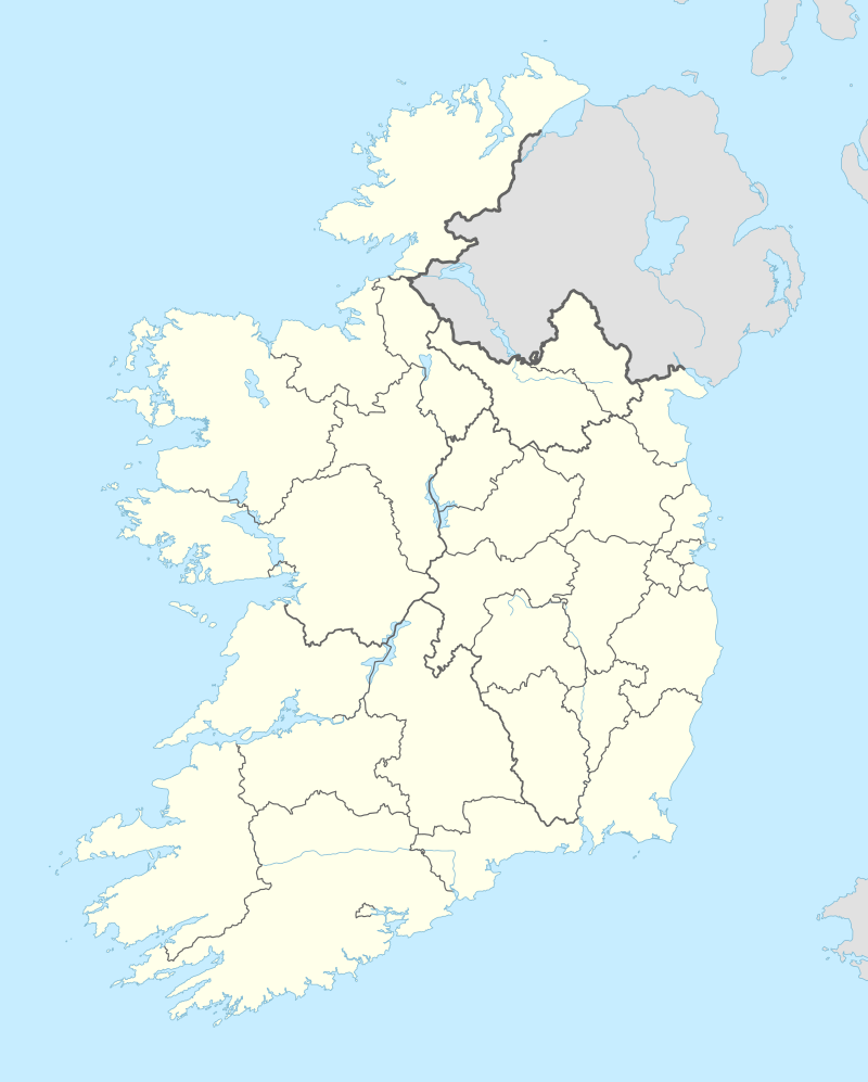
Drumardagh (Irish: Droim Ardagh) is a residential townland, situated approximately 5 kilometres from the town of Letterkenny, in County Donegal, Ireland.[1] The Irish name means the ridge (drum) on the high place (ardagh), and it is this elevation that gives Drumardagh its commanding views over Lough Swilly, from Glenswilly to Inch Island, and beyond to the peaks of the Fanad and Inishowen peninsulas.
Drumardag Droim ardagh | |
|---|---|
Townland | |
 Part of Drumardagh Middle | |
| Motto(s): Altus Nemus Exsequor Per Panoramic Visum | |
 Drumardag Location in Ireland | |
| Coordinates: 54°57′18″N 7°39′00″W | |
| Country | Ireland |
| Province | Ulster |
| County | County Donegal |
| Government | |
| • Dáil Éireann | Donegal |
| Time zone | UTC+0 (WET) |
| • Summer (DST) | UTC-1 (IST (WEST)) |
| Website | www |
History
Due to its elevated location, and the surrounding lowland isles on the banks of Lough Swilly, Drumardagh has a history of military significance. The first notable use of the hill in Drumardagh was as a strategic viewing point for the nearby Battle of Farsetmore on 8 May 1567.[2]
In 1790 the British Army erected a stone building in the farmyard at Drumardagh, which they used as a cavalry and munitions store. On the North-Westernmost tip of Drumardagh, directly overlooking the Swilly, trenches were dug into the hillside, at a place which is known locally as The Cannon Hill. These trenches were used by the British as a means of maintaining watch over the nearby shipping channel, which at that time, was a busy communications link into and out of central Donegal. Several cannons have been recovered from this site, and an example is now under the care of the nearby Letterkenny Museum.
References
- Minutes of Meeting of Letterkenny Electoral Area Committee, 24 January 2005.
- G.A. Hayes McCoy, Irish Battles, Belfast 1989.
Places in County Donegal | ||
|---|---|---|
| Towns | 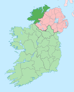 | |
| Villages |
| |
| Townlands | ||
| Islands | ||
| Other regions | ||
| ||