Colthrop
Colthrop is a village in Berkshire, England.[1][2] Colthrop is part of the civil parish of Thatcham. The settlement lies on the A4 road, and is the location of numerous industrial parks and haulage depots due to the area's proximity to Thatcham railway station.
| Colthrop | |
|---|---|
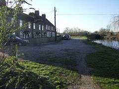 Cottages at Colthrop | |
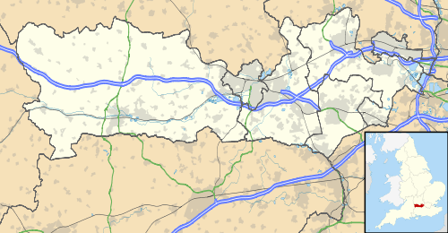 Colthrop Location within Berkshire | |
| OS grid reference | SU542668 |
| Metropolitan borough | |
| Metropolitan county | |
| Region | |
| Country | England |
| Sovereign state | United Kingdom |
| Post town | Thatcham |
| Postcode district | RG19 |
| Dialling code | 01635 |
| Police | Thames Valley |
| Fire | Royal Berkshire |
| Ambulance | South Central |
| UK Parliament | |
References
- Ordnance Survey: Landranger map sheet 174 Newbury & Wantage (Hungerford & Didcot) (Map). Ordnance Survey. 2014. ISBN 9780319228739.
- "Ordnance Survey: 1:50,000 Scale Gazetteer" (csv (download)). www.ordnancesurvey.co.uk. Ordnance Survey. 1 January 2016. Retrieved 18 February 2016.
External links
![]()
This article is issued from Wikipedia. The text is licensed under Creative Commons - Attribution - Sharealike. Additional terms may apply for the media files.