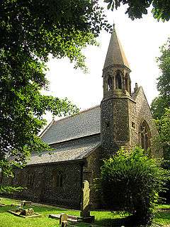
Woodlands St Mary
Woodlands St Mary is a small village in the English county of Berkshire.
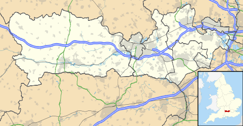
The village is situated in the civil parish of Lambourn, and is 3 miles (4.8 km) to the south of the village of Lambourn, and 1 mile (1.6 km) from Lambourn Woodlands. The parish is within the unitary authority of West Berkshire, close to the border between the counties of Berkshire and Wiltshire.
Woodlands St Mary is located on the route of Ermin Street, the Roman road which connected Calleva Atrebatum (today's Silchester) to Glevum (Gloucester). The Ermin Street's route through the village is used by today's high level road (B4000) from Newbury to Lambourn.[1]
The modern M4 motorway passes just to the south of the village, with the nearest motorway access point (J14) some 2 miles (3.2 km) to the east, between Shefford Woodlands and Hungerford Newtown.
References
- "Berkshire History : Lambourn Woodlands". Nash Ford Publishing. 2004. Retrieved 23 February 2008.
External links
![]()