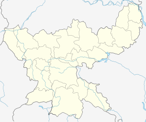
Birni, Giridih
Birni is a village in Birni CD Block in Bagodar-Saria subdivision of Giridih district in the Indian state of Jharkhand.
Birni | |
|---|---|
Village | |
 Birni Location in Jharkhand, India  Birni Birni (India) | |
| Coordinates: 24.274444°N 85.925278°E | |
| Country | |
| State | Jharkhand |
| District | Giridih |
| Population (2011) | |
| • Total | 1,491 |
| Languages | |
| • Official | Hindi, Urdu |
| Time zone | UTC+5:30 (IST) |
| PIN | 825324 (Bangrakala) |
| Telephone/ STD code | 06554 |
| Vehicle registration | JH 11 |
| Website | giridih |
Police station
Birni police station has jurisdiction over Birni CD Block.[1]According to old British records, Birni PS was there after Giridh subdivision was formed in 1870.[2]
Demographics
As per the 2011 Census of India Birni had a total population of 1,491, of which 761 (51%) were males and 730 (49%) were females. Population below 6 years was 281. The total number of literates in Birni was 840 (69.42% of the population over 6 years). [5]
Transport
Suriya-Dhanwar Road passes through Birni.[6]
gollark: Your iframe tags are not closed, except they have to be.
gollark: Anyway, the issue is that you never close the iframe tags.
gollark: Iframes? Ew.
gollark: Wrong.
gollark: This is just sed but stupider.
References
- "District Statistical Handbook, Giridih". Tables 2.1, 2.4. Directorate of Economics and Statistics, Department of Planning and Development, Jharkhand. Retrieved 28 November 2017.
- "District Census Handbook Giridih, 2011, Series 21, Part XII A" (PDF). Pages 5-7. Directorate of Census Operations, Jharkhand. Retrieved 2 December 2017.
- "2011 District Census Handbook Giridih, Series 21, Part XII B" (PDF). Map on Page 3. Directorate of Census Operations, Jharkhand. Retrieved 28 November 2017.
- "Giridih". District Administration, Giridih. Archived from the original on 27 May 2011. Retrieved 28 November 2017.
- "2011 Census C.D. Block Wise Primary Census Abstract Data(PCA)". Jharkhand – District-wise CD Blocks. Registrar General and Census Commissioner, India. Retrieved 28 November 2017.
- Google maps
This article is issued from Wikipedia. The text is licensed under Creative Commons - Attribution - Sharealike. Additional terms may apply for the media files.