123rd meridian east

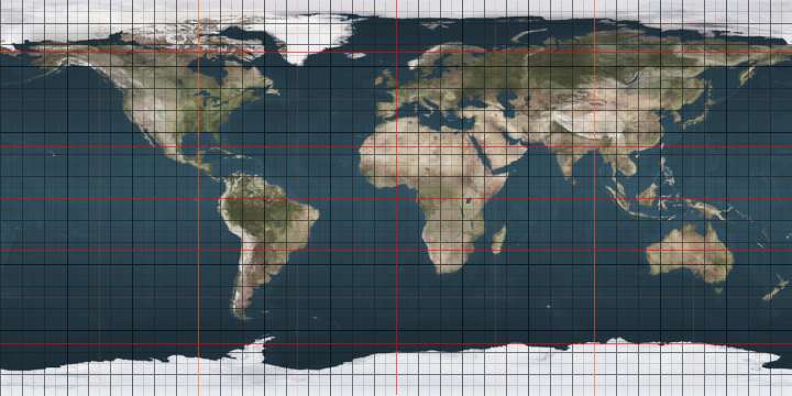
The meridian 123° east of Greenwich is a line of longitude that extends from the North Pole across the Arctic Ocean, Asia, the Pacific Ocean, the Indian Ocean, Australia, the Southern Ocean, and Antarctica to the South Pole.

123°
123rd meridian east

The 123rd meridian east forms a great circle with the 57th meridian west.

From Pole to Pole

Starting at the North Pole and heading south to the South Pole, the 123rd meridian east passes through:

Co-ordinates Country, territory or sea Notes
90°0′N 123°0′E Arctic Ocean
78°2′N 123°0′E Laptev Sea
72°57′N 123°0′E  Russia Sakha Republic
Amur Oblast — from 56°31′N 123°0′E
53°30′N 123°0′E  People's Republic of China Heilongjiang
Inner Mongolia — from 51°17′N 123°0′E
Heilongjiang — from 47°43′N 123°0′E
Inner Mongolia — from 46°42′N 123°0′E
Jilin — from 46°6′N 123°0′E
Inner Mongolia — from 44°29′N 123°0′E
Liaoning — from 42°44′N 123°0′E
39°40′N 123°0′E Yellow Sea Passing just east of the Shandong Peninsula, Shandong,  People's Republic of China (at 37°23′N 122°42′E)
33°17′N 123°0′E East China Sea Passing just east of the Zhoushan archipelago, Zhejiang,  People's Republic of China (at 30°25′N 122°56′E)
24°28′N 123°0′E  Japan Okinawa Prefecture — island of Yonaguni
24°26′N 123°0′E Pacific Ocean Philippine Sea
14°7′N 123°0′E  Philippines Island of Luzon
13°31′N 123°0′E Ragay Gulf
13°9′N 123°0′E  Philippines Island of Burias
13°0′N 123°0′E Sibuyan Sea
11°30′N 123°0′E  Philippines Island of Panay
11°5′N 123°0′E Guimaras Strait
10°55′N 123°0′E  Philippines Island of Negros
9°3′N 123°0′E Sulu Sea
8°25′N 123°0′E  Philippines Island of Mindanao
7°28′N 123°0′E Celebes Sea
0°58′N 123°0′E  Indonesia Island of Sulawesi (Minahassa Peninsula)
0°30′N 123°0′E Gulf of Tomini
0°37′S 123°0′E  Indonesia Island of Sulawesi (East Peninsula)
0°54′S 123°0′E Peleng Straits
1°12′S 123°0′E  Indonesia Island of Peleng
1°31′S 123°0′E Banda Sea Passing just west of the island of Manui,  Indonesia (at 3°35′S 123°2′E)
4°0′S 123°0′E  Indonesia Island of Wowoni
4°12′S 123°0′E Banda Sea Passing just east of the island of Sulawesi,  Indonesia (at 4°19′S 122°54′E)
4°23′S 123°0′E  Indonesia Island of Buton
4°56′S 123°0′E Banda Sea
5°9′S 123°0′E  Indonesia Island of Buton
5°23′S 123°0′E Banda Sea
8°17′S 123°0′E  Indonesia Islands of Flores, Adonara and Solor
8°30′S 123°0′E Savu Sea
10°44′S 123°0′E  Indonesia Island of Rote
10°52′S 123°0′E Indian Ocean
12°14′S 123°0′E  Australia Ashmore and Cartier Islands
12°17′S 123°0′E Indian Ocean
16°23′S 123°0′E  Australia Western Australia
33°52′S 123°0′E Indian Ocean Australian authorities consider this to be part of the Southern Ocean[1][2]
60°0′S 123°0′E Southern Ocean
66°40′S 123°0′E Antarctica Australian Antarctic Territory, claimed by  Australia
gollark: ++delete <@!356107472269869058>
gollark: Wow, I should immediately put IFcoltransG in charge of all GTech™ customer support operations!
gollark: Maybe this will help explain the problem.
gollark: ++delete <@!738361430763372703>
gollark: Kernel-level ones are a bit outdated now though, why not a hypervisor-level antivirus?

See also

References

  1. Darby, Andrew (22 December 2003). "Canberra all at sea over position of Southern Ocean". The Age. Retrieved 13 January 2013.
  2. "Indian Ocean". Encyclopædia Britannica. Retrieved 13 January 2013.

This article is issued from Wikipedia. The text is licensed under Creative Commons - Attribution - Sharealike. Additional terms may apply for the media files.