Xamontarupt
Xamontarupt (French pronunciation: [ksamɔ̃taʁy]) is a commune in the Vosges department in Grand Est in northeastern France. Its inhabitants are known as Rupéains[2] or Xamontois.[3]
Xamontarupt | |
|---|---|
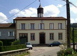 Town hall | |
Location of Xamontarupt 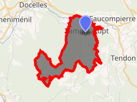
| |
 Xamontarupt 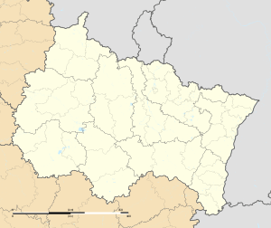 Xamontarupt | |
| Coordinates: 48°08′00″N 6°39′14″E | |
| Country | France |
| Region | Grand Est |
| Department | Vosges |
| Arrondissement | Épinal |
| Canton | Bruyères |
| Intercommunality | Bruyères-Vallons des Vosges |
| Government | |
| • Mayor (2014-2020) | Nicole Ledig |
| Area 1 | 5 km2 (2 sq mi) |
| Population (2017-01-01)[1] | 155 |
| • Density | 31/km2 (80/sq mi) |
| Time zone | UTC+01:00 (CET) |
| • Summer (DST) | UTC+02:00 (CEST) |
| INSEE/Postal code | 88528 /88460 |
| Elevation | 393–671 m (1,289–2,201 ft) |
| 1 French Land Register data, which excludes lakes, ponds, glaciers > 1 km2 (0.386 sq mi or 247 acres) and river estuaries. | |
Geography
Abutting the heavily wooded massif of le Fossard, the village is crossed by the Cuves stream, an outflow of the Vologne river.
History
Evidence of protohistoric human presence: construction from set stones, flakes of cut quartz. 400-year old holly in the village, probably some of the oldest in Europe, can be seen on the route leading to the Haut-du-Bois maquis.
In 1656, the village was called "Charmontaruz"
Population
| Year | Pop. | ±% |
|---|---|---|
| 2006 | 150 | — |
| 2007 | 152 | +1.3% |
| 2008 | 153 | +0.7% |
| 2009 | 153 | +0.0% |
| 2010 | 152 | −0.7% |
| 2011 | 151 | −0.7% |
| 2012 | 149 | −1.3% |
| 2013 | 148 | −0.7% |
| 2014 | 151 | +2.0% |
| 2015 | 152 | +0.7% |
| 2016 | 153 | +0.7% |
Personalities
- Jean-René Claudel, amateur speleologist and archeologist, discovered the flakes of quartzite[4] · .[5]
See also
References
- "Populations légales 2017". INSEE. Retrieved 6 January 2020.
- habitants.fr website
- Communauté de communes website
- www.persee.fr : Note préliminaire sur quelques stations lorraines à quartzites paléolithiques.
- "www.vosges-archives.com" (PDF). Archived from the original (PDF) on 2012-04-02. (85.4 KB) : Fonds Jean-René Claudel,Vice-Président du Groupe spéléo-préhistorique vosgien (1935-1976).
External links
| Wikimedia Commons has media related to Xamontarupt. |
- Intercommunal site
- Xamontarupt on the IGN website
- Xamontarupt on the INSEE website
- Localisation de Xamontarupt sur une carte de France et communes limitrophes
| Authority control |
|
|---|
This article is issued from Wikipedia. The text is licensed under Creative Commons - Attribution - Sharealike. Additional terms may apply for the media files.