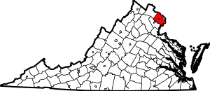
Woodburn, Fairfax County, Virginia
Woodburn is a census-designated place in Fairfax County, Virginia, United States. The population as of the 2010 census was 8,480.[1]
Woodburn, Fairfax County, Virginia | |
|---|---|
 Apartment complex in Woodburn; the back of Inova Fairfax Hospital can be seen in the near distance | |
 Woodburn 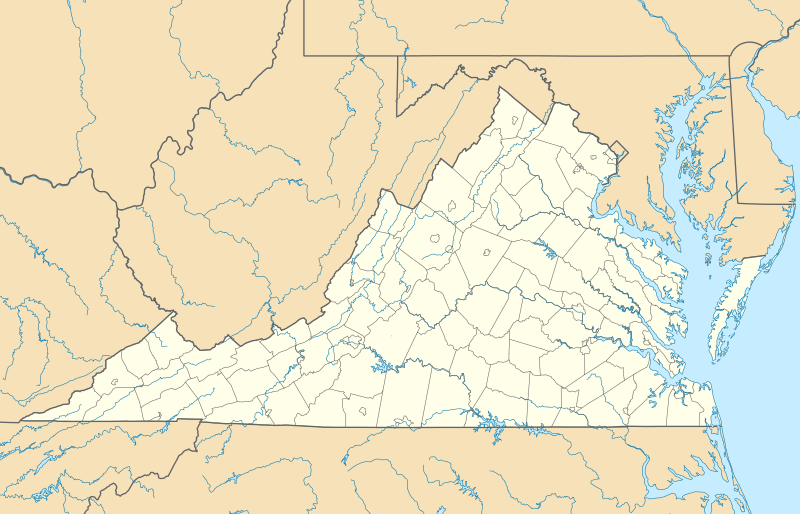 Woodburn  Woodburn | |
| Coordinates: 38°50′55″N 77°14′8″W | |
| Country | United States |
| State | Virginia |
| County | Fairfax |
| Area | |
| • Total | 2.80 sq mi (7.25 km2) |
| • Land | 2.78 sq mi (7.19 km2) |
| • Water | 0.02 sq mi (0.05 km2) |
| Elevation | 290 ft (90 m) |
| Population (2010) | |
| • Total | 8,480 |
| • Density | 3,054/sq mi (1,179.1/km2) |
| Time zone | UTC−5 (Eastern (EST)) |
| • Summer (DST) | UTC−4 (EDT) |
| ZIP codes | 22003, 22031 |
| FIPS code | 51-87333 |
| GNIS feature ID | 2584938 |
Geography
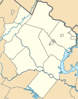
Bounded by the Capital Beltway (I-495) to the east, Arlington Boulevard (US 50) to the north, Prosperity Avenue to the west, and Little River Turnpike (SR 236) to the south, the CDP is home to Inova Fairfax Hospital. Neighboring communities are Annandale to the east, Wakefield to the south, Mantua to the west, Merrifield to the north, and West Falls Church at the northeast corner of Woodburn. The city of Fairfax is 4 miles (6 km) to the west by either US 50 or SR 236, and downtown Washington, D.C. is 12 miles (19 km) to the east.
According to the U.S. Census Bureau, the Woodburn CDP has a total area of 2.80 square miles (7.25 km2), of which 2.78 square miles (7.19 km2) is land and 0.02 square miles (0.05 km2), or 0.75%, is water.[1]
References
- "Geographic Identifiers: 2010 Demographic Profile Data (G001): Woodburn CDP, Virginia". U.S. Census Bureau, American Factfinder. Retrieved October 18, 2016.
| Wikimedia Commons has media related to Woodburn, Fairfax County, Virginia. |