South Run, Virginia
South Run is a census-designated place in Fairfax County, Virginia, United States. The population as of the 2010 census was 6,389.[1]
South Run, Virginia | |
|---|---|
 Houses in South Run CDP, January 2018 | |
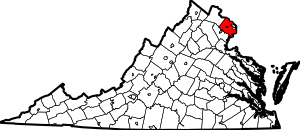
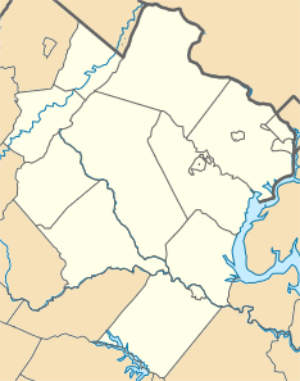 South Run Location within Fairfax county 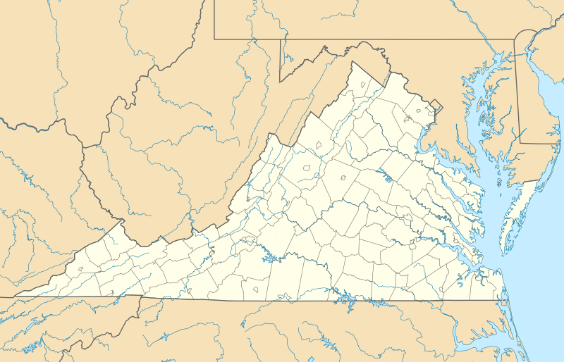 South Run South Run (Virginia)  South Run South Run (the United States) | |
| Coordinates: 38°44′54″N 77°16′23″W | |
| Country | United States |
| State | Virginia |
| County | Fairfax |
| Area | |
| • Total | 2.60 sq mi (6.73 km2) |
| • Land | 2.53 sq mi (6.56 km2) |
| • Water | 0.07 sq mi (0.17 km2) |
| Elevation | 300 ft (90 m) |
| Population (2010) | |
| • Total | 6,389 |
| • Density | 2,521/sq mi (973.2/km2) |
| Time zone | UTC−5 (Eastern (EST)) |
| • Summer (DST) | UTC−4 (EDT) |
| ZIP codes | 22039, 22153 |
| FIPS code | 51-74120 |
| GNIS feature ID | 2584922 |
Geography
The South Run CDP is in southern Fairfax County, bordered to the northwest by Burke Lake Park, to the north by Burke, to the east by Newington Forest, and to the south by Crosspointe. The CDP's borders are formed by the Fairfax County Parkway (Virginia Route 286) to the north; Hooes Road to the east; South Run, a tributary of South Run, and Silverbrook Road to the south; and Ox Road (Virginia State Route 123) to the southwest. The city of Fairfax is 8 miles (13 km) to the north, and downtown Washington, D.C. is 20 miles (32 km) to the northeast.
According to the U.S. Census Bureau, the total area of the South Run CDP is 2.60 square miles (6.73 km2), of which 2.53 square miles (6.56 km2) is land and 0.066 square miles (0.17 km2), or 2.52%, is water.[1] South Run, a tributary of Pohick Creek and part of the Potomac River watershed, flows from west to east through the center of CDP. At the southeast corner of the CDP it is impounded as Lake Mercer.
References
- "Geographic Identifiers: 2010 Demographic Profile Data (G001): South Run, Virginia". U.S. Census Bureau, American Factfinder. Retrieved October 17, 2016.