West Springfield, Virginia
West Springfield is a census-designated place (CDP) in Fairfax County, Virginia, United States. The population was 22,460 at the 2010 census.[3]
West Springfield, Virginia | |
|---|---|
 Houses in West Springfield | |
 Location of West Springfield in Fairfax County, Virginia | |
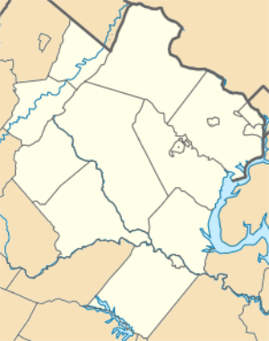 West Springfield, Virginia Location of West Springfield in Fairfax County, Virginia 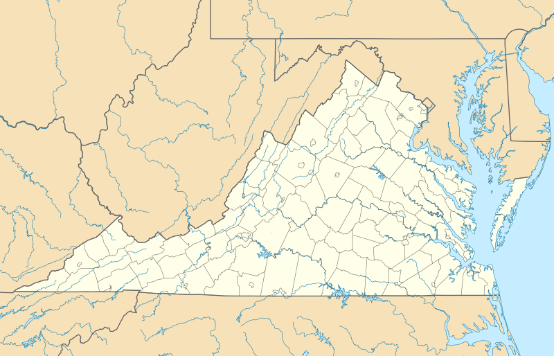 West Springfield, Virginia West Springfield, Virginia (Virginia)  West Springfield, Virginia West Springfield, Virginia (the United States) | |
| Coordinates: 38°47′18″N 77°13′58″W | |
| Country | United States |
| State | Virginia |
| County | Fairfax |
| Area | |
| • Total | 4.83 sq mi (12.50 km2) |
| • Land | 4.80 sq mi (12.42 km2) |
| • Water | 0.03 sq mi (0.08 km2) |
| Elevation | 272 ft (83 m) |
| Population (2010) | |
| • Total | 22,460 |
| • Density | 4,683/sq mi (1,808.1/km2) |
| Time zone | UTC−5 (Eastern (EST)) |
| • Summer (DST) | UTC−4 (EDT) |
| ZIP code | 22152 |
| Area code(s) | 703, 571 |
| FIPS code | 51-84976[1] |
| GNIS feature ID | 1493775[2] |
Geography
West Springfield is located in southeastern Fairfax County at 38°47′18″N 77°13′58″W (38.788436, −77.232802).[4] Its borders are the Norfolk Southern Railway to the north, Accotink Creek to the east, Fort Belvoir and the Fairfax County Parkway to the south, and Pohick Creek and a power line to the west.[5]
According to the U.S. Census Bureau, the total area of the West Springfield CDP is 4.8 square miles (12.5 km2), of which 0.03 square miles (0.08 km2), or 0.65%, is water.[3]
Demographics
| Historical population | |||
|---|---|---|---|
| Census | Pop. | %± | |
| 1970 | 14,143 | — | |
| 1980 | 25,012 | 76.9% | |
| 1990 | 28,126 | 12.5% | |
| 2000 | 28,378 | 0.9% | |
| 2010 | 22,460 | −20.9% | |
| source:[6] | |||

At the 2010 census there were 22,460 people, 10,289 households, and 7,840 families in the CDP. The population density was 4,158.7 people per square mile (1,606.6/km²). There were 10,425 housing units at an average density of 1,527.7/sq mi (590.2/km²). The racial makeup of the CDP was 75.31% White, 4.89% African American, 0.28% Native American, 13.91% Asian, 0.06% Pacific Islander, 2.55% from other races, and 3.01% from two or more races. Hispanic or Latino of any race were 7.33%.[1]
Of the 10,289 households 36.8% had children under the age of 18 living with them, 64.4% were married couples living together, 8.9% had a female householder with no husband present, and 23.8% were non-families. 18.8% of households were one person and 4.5% were one person aged 65 or older. The average household size was 2.76 and the average family size was 3.16.
The age distribution was 25.6% under the age of 18, 6.2% from 18 to 24, 29.3% from 25 to 44, 28.9% from 45 to 64, and 9.9% 65 or older. The median age was 39 years. For every 100 females, there were 95.3 males. For every 100 females age 18 and over, there were 91.4 males.
According to a 2007 estimate, the median household income was $97,203, and the median family income was $106,667. Males had a median income of $61,953 versus $40,380 for females. The per capita income for the CDP was $35,375. About 1.7% of families and 2.4% of the population were below the poverty line, including 2.6% of those under age 18 and 0.5% of those age 65 or over.
References
- "U.S. Census website". United States Census Bureau. Retrieved 2008-01-31.
- "US Board on Geographic Names". United States Geological Survey. 2007-10-25. Retrieved 2008-01-31.
- "Geographic Identifiers: 2010 Demographic Profile Data (G001): West Springfield CDP, Virginia". U.S. Census Bureau, American Factfinder. Retrieved October 17, 2016.
- "US Gazetteer files: 2010, 2000, and 1990". United States Census Bureau. 2011-02-12. Retrieved 2011-04-23.
- "TIGERweb". U.S. Census Bureau Geography Division. Retrieved October 17, 2016.
- "CENSUS OF POPULATION AND HOUSING (1790-2000)". U.S. Census Bureau. Retrieved 2010-07-17.