George Mason, Virginia
George Mason is a census-designated place (CDP) in Fairfax County, Virginia, United States. The population as of the 2010 census was 9,496.[1] It consists of George Mason University and some adjacent neighborhoods to the south and southwest of the city of Fairfax.
George Mason, Virginia | |
|---|---|
 A house in the CDP, August, 2017 | |
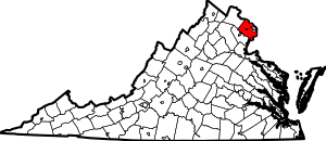
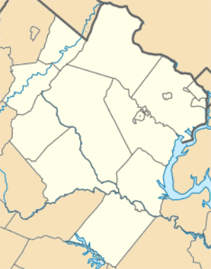 George Mason Location within Fairfax county 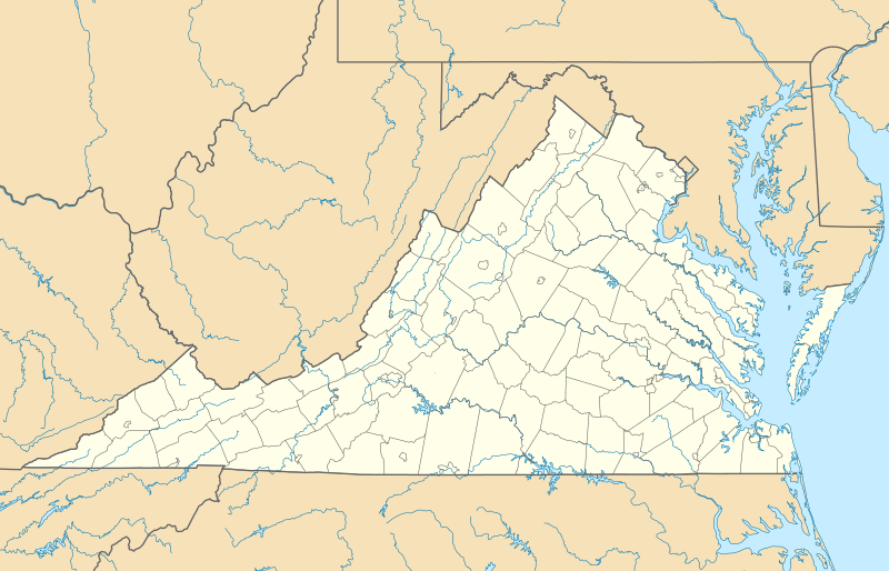 George Mason George Mason (Virginia)  George Mason George Mason (the United States) | |
| Coordinates: 38°49′56″N 77°18′51″W | |
| Country | United States |
| State | Virginia |
| County | Fairfax |
| Area | |
| • Total | 2.53 sq mi (6.55 km2) |
| • Land | 2.52 sq mi (6.52 km2) |
| • Water | 0.02 sq mi (0.04 km2) |
| Elevation | 450 ft (140 m) |
| Population (2010) | |
| • Total | 9,496 |
| • Density | 3,773/sq mi (1,456.7/km2) |
| Time zone | UTC−5 (Eastern (EST)) |
| • Summer (DST) | UTC−4 (EDT) |
| ZIP codes | 22030, 22032 |
| FIPS code | 51-30618 |
| GNIS feature ID | 2584851 |
The CDP is bordered to the north by the Fairfax city line, to the west by Shirley Gate Road, to the south by Braddock Road, and to the east by Burke Station Road.[2] The university campus is largely to the east of Ox Road (Virginia Route 123), which runs north to south across the center of the CDP. Many of the university's athletic facilities are west of Ox Road, however. According to the U.S. Census Bureau, the CDP has a total area of 2.5 square miles (6.6 km2), of which 0.02 square miles (0.04 km2), or 0.53%, is water.[3]
References
- Virginia Trend Report 2: State and Complete Places (Sub-state 2010 Census Data). Missouri Census Data Center. Accessed 2011-06-08.
- "Places and County Subdivisions". TIGERweb. U.S. Census Bureau, Geography Division. Retrieved October 5, 2016.
- "Geographic Identifiers: 2010 Demographic Profile Data (G001): George Mason CDP, Virginia". U.S. Census Bureau, American Factfinder. Retrieved October 5, 2016.