Saint-Pierre-de-Rivière
Saint-Pierre-de-Rivière is a commune in the Ariège department in southwestern France.
Saint-Pierre-de-Rivière | |
|---|---|
 The school in Saint-Pierre-de-Rivière | |
Location of Saint-Pierre-de-Rivière 
| |
 Saint-Pierre-de-Rivière 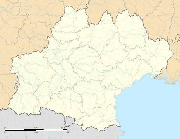 Saint-Pierre-de-Rivière | |
| Coordinates: 42°57′42″N 1°33′37″E | |
| Country | France |
| Region | Occitanie |
| Department | Ariège |
| Arrondissement | Foix |
| Canton | Foix |
| Intercommunality | Pays de Foix |
| Government | |
| • Mayor (2008–2014) | Richard Danis |
| Area 1 | 2.35 km2 (0.91 sq mi) |
| Population (2017-01-01)[1] | 644 |
| • Density | 270/km2 (710/sq mi) |
| Time zone | UTC+01:00 (CET) |
| • Summer (DST) | UTC+02:00 (CEST) |
| INSEE/Postal code | 09273 /09000 |
| Elevation | 436–569 m (1,430–1,867 ft) (avg. 451 m or 1,480 ft) |
| 1 French Land Register data, which excludes lakes, ponds, glaciers > 1 km2 (0.386 sq mi or 247 acres) and river estuaries. | |
Population
| Year | Pop. | ±% |
|---|---|---|
| 1793 | 309 | — |
| 1800 | 366 | +18.4% |
| 1806 | 386 | +5.5% |
| 1821 | 357 | −7.5% |
| 1831 | 371 | +3.9% |
| 1836 | 425 | +14.6% |
| 1841 | 435 | +2.4% |
| 1846 | 454 | +4.4% |
| 1851 | 473 | +4.2% |
| 1856 | 429 | −9.3% |
| 1861 | 459 | +7.0% |
| 1866 | 446 | −2.8% |
| 1872 | 437 | −2.0% |
| 1876 | 456 | +4.3% |
| 1881 | 439 | −3.7% |
| 1886 | 405 | −7.7% |
| 1891 | 436 | +7.7% |
| 1896 | 415 | −4.8% |
| 1901 | 412 | −0.7% |
| 1906 | 406 | −1.5% |
| 1911 | 402 | −1.0% |
| 1921 | 375 | −6.7% |
| 1926 | 390 | +4.0% |
| 1931 | 389 | −0.3% |
| 1936 | 351 | −9.8% |
| 1946 | 353 | +0.6% |
| 1954 | 342 | −3.1% |
| 1962 | 323 | −5.6% |
| 1968 | 18 | −94.4% |
| 1975 | 349 | +1838.9% |
| 1982 | 418 | +19.8% |
| 1990 | 463 | +10.8% |
| 1999 | 564 | +21.8% |
| 2008 | 665 | +17.9% |
Inhabitants of Saint-Pierre-de-Rivière are called Saint-Pierrois.
See also
References
- "Populations légales 2017". INSEE. Retrieved 6 January 2020.
| Wikimedia Commons has media related to Saint-Pierre-de-Rivière. |
This article is issued from Wikipedia. The text is licensed under Creative Commons - Attribution - Sharealike. Additional terms may apply for the media files.