Saint-Lary, Ariège
Saint-Lary (Gascon: Sent Lari) is a commune in the Ariège department in southwestern France.
Saint-Lary | |
|---|---|
Location of Saint-Lary 
| |
 Saint-Lary 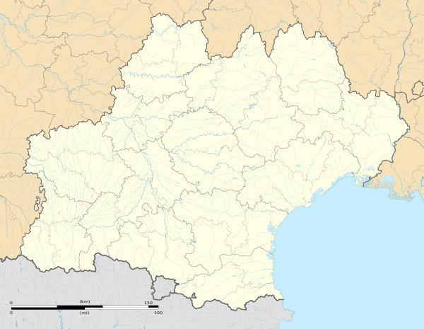 Saint-Lary | |
| Coordinates: 42°55′48″N 0°53′42″E | |
| Country | France |
| Region | Occitanie |
| Department | Ariège |
| Arrondissement | Saint-Girons |
| Canton | Couserans Ouest |
| Intercommunality | Castillonnais |
| Government | |
| • Mayor (2008–2014) | Gérard Dubuc |
| Area 1 | 33.91 km2 (13.09 sq mi) |
| Population (2017-01-01)[1] | 131 |
| • Density | 3.9/km2 (10/sq mi) |
| Time zone | UTC+01:00 (CET) |
| • Summer (DST) | UTC+02:00 (CEST) |
| INSEE/Postal code | 09267 /09800 |
| Elevation | 654–2,209 m (2,146–7,247 ft) (avg. 692 m or 2,270 ft) |
| 1 French Land Register data, which excludes lakes, ponds, glaciers > 1 km2 (0.386 sq mi or 247 acres) and river estuaries. | |
It is located on the former Route nationale 618, the "Route of the Pyrenees".
Population
Inhabitants of Saint-Lary are called Saint-Hilariens.
| Year | Pop. | ±% |
|---|---|---|
| 1962 | 197 | — |
| 1968 | 245 | +24.4% |
| 1975 | 165 | −32.7% |
| 1982 | 147 | −10.9% |
| 1990 | 133 | −9.5% |
| 1999 | 136 | +2.3% |
| 2008 | 155 | +14.0% |
See also
References
- "Populations légales 2017". INSEE. Retrieved 6 January 2020.
| Wikimedia Commons has media related to Saint-Lary (Ariège). |
This article is issued from Wikipedia. The text is licensed under Creative Commons - Attribution - Sharealike. Additional terms may apply for the media files.